Kāliyāganj night lights from space
Night Light of Kāliyāganj (West Bengal) from space (India) Src. Average luminocity for 10x10km area is 16.214% and for 50x50km: 7.6518%.
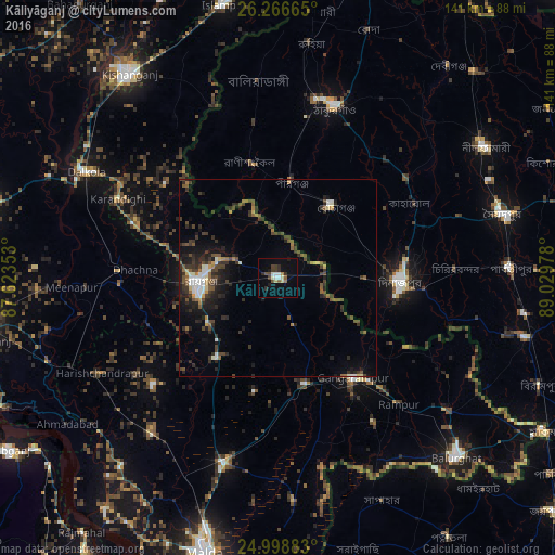
Analysis of Kāliyāganj night lights 2016
Square area 10x10 km:
 1.52%
1.52%90-99
3.22%80-89
2.08%70-79
0.38%60-69
0.95%50-59
2.08%40-49
3.22%30-39
3.03%20-29
3.22%10-19
3.6%0-9
76.7%Square area 50x50 km:
0.66%90-99
1.03%80-89
0.49%70-79
0.37%60-69
0.65%50-59
1.31%40-49
1.94%30-39
2.1%20-29
3.21%10-19
4.24%0-9
84%Clear (daylight) street map image can be seen on geolist.org.
Map coordinates:
26° 15' 59.9" North, 87° 37' 24.7" East
25° 38' 3.9" North, 88° 19' 35.9" East
24° 59' 55.8" North, 89° 1' 47.2" East
Some cities around Kāliyāganj sort by population:
• Dinājpur, BD
31.2 km =19.4 mi,  91°
91°
• Rāiganj
20.4 km =12.7 mi,  263°
263°
• Thākurgaon, BD
46.4 km =28.8 mi,  18°
18°
• Gangārāmpur
33 km =20.5 mi,  141°
141°
• Pīrgaaj, BD
24.8 km =15.4 mi,  7°
7°
• Dalkola
55.6 km =34.5 mi,  298°
298°
• Daulatpur
34.3 km =21.3 mi,  179°
179°
• Raghunāthpur
41 km =25.5 mi,  271°
271°
1268383 (p: 51,748)
Sources (retrieved 2019-11-25):
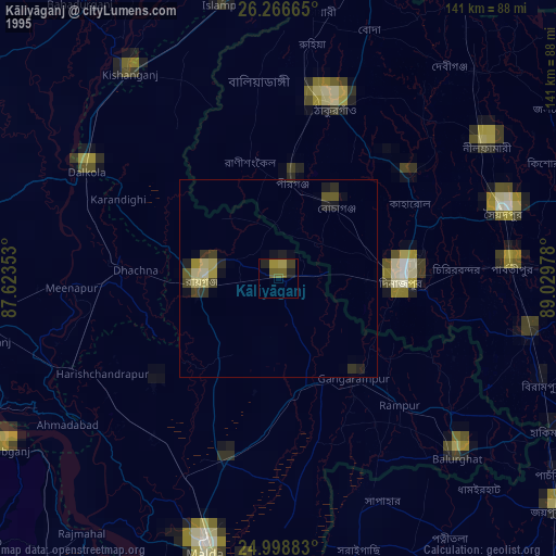
» NASA, Earths city lights 1995
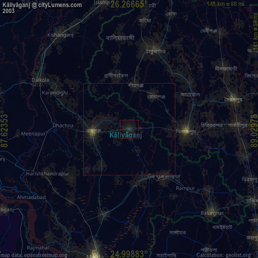
» NASA city lights 2003
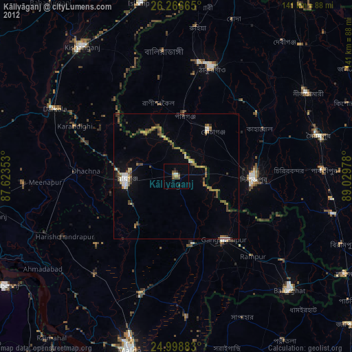
» Earth at Night: Flat Maps 2012, 2016