Basmat night lights from space
Night Light of Basmat (Maharashtra) from space (India) Src. Average luminocity for 10x10km area is 22.8946% and for 50x50km: 10.6742%.
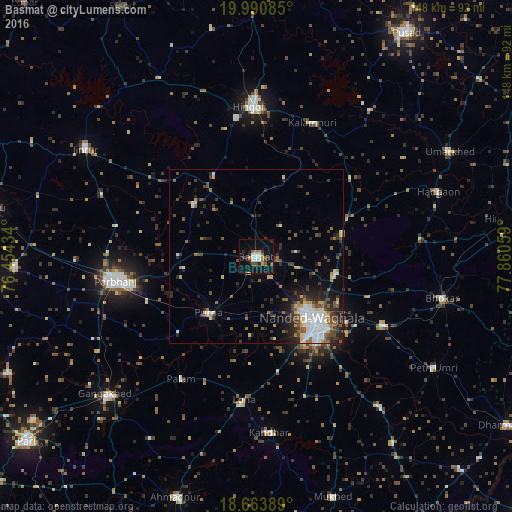
Analysis of Basmat night lights 2016
Square area 10x10 km:
 2.89%
2.89%90-99
3.72%80-89
1.24%70-79
1.24%60-69
4.55%50-59
3.1%40-49
2.27%30-39
4.96%20-29
4.55%10-19
25.21%0-9
46.28%Square area 50x50 km:
1.64%90-99
1.75%80-89
0.89%70-79
0.87%60-69
1.19%50-59
1.58%40-49
1.75%30-39
2.37%20-29
3.28%10-19
4.64%0-9
80.04%Clear (daylight) street map image can be seen on geolist.org.
Map coordinates:
19° 59' 27.1" North, 76° 27' 15.6" East
19° 19' 43.4" North, 77° 9' 26.9" East
18° 39' 50" North, 77° 51' 38.1" East
Some cities around Basmat sort by population:
• Nanded
25 km =15.5 mi,  138°
138°
• Parbhani
41.1 km =25.5 mi,  260°
260°
• Hingoli
42.9 km =26.7 mi,  357°
357°
• Jintūr
58.5 km =36.4 mi,  302°
302°
• Pūrna
21.4 km =13.3 mi,  220°
220°
• Hadgāon
55.7 km =34.6 mi,  70°
70°
• Kalamnūri
41.6 km =25.8 mi,  22°
22°
• Mudkhed
41 km =25.5 mi,  117°
117°
1276757 (p: 63,972)
Sources (retrieved 2019-11-25):
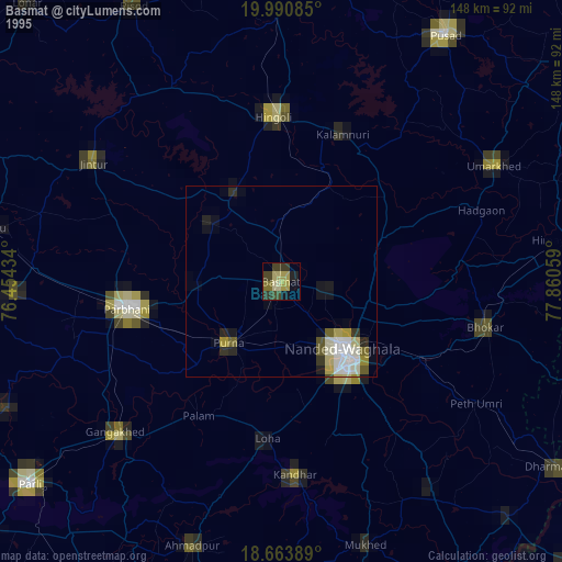
» NASA, Earths city lights 1995
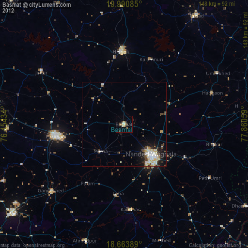
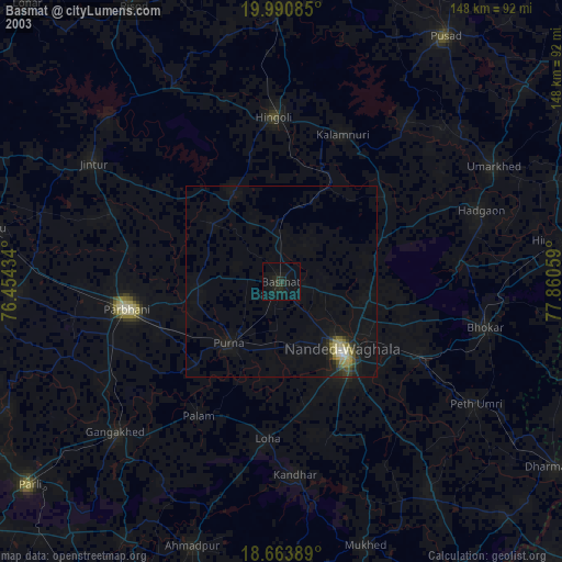
» NASA city lights 2003
» Earth at Night: Flat Maps 2012, 2016