Parbhani night lights from space
Night Light of Parbhani (Maharashtra) from space (India) Src. Average luminocity for 10x10km area is 59.4762% and for 50x50km: 6.492%.
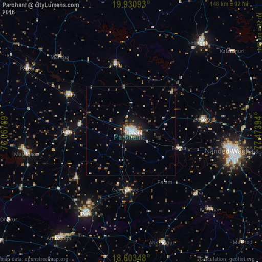
Analysis of Parbhani night lights 2016
Square area 10x10 km:
 18.4%
18.4%90-99
16.23%80-89
3.03%70-79
1.08%60-69
5.63%50-59
10.82%40-49
6.71%30-39
10.82%20-29
17.32%10-19
9.74%0-9
0.22%Square area 50x50 km:
0.8%90-99
0.9%80-89
0.48%70-79
0.47%60-69
0.74%50-59
1.14%40-49
1.05%30-39
1.52%20-29
2.04%10-19
3.83%0-9
87.02%Clear (daylight) street map image can be seen on geolist.org.
Map coordinates:
19° 55' 51.3" North, 76° 4' 3.7" East
19° 16' 6.8" North, 76° 46' 14.9" East
18° 36' 12.5" North, 77° 28' 26.2" East
Some cities around Parbhani sort by population:
• Parli Vaijnāth
52.8 km =32.8 mi,  208°
208°
• Basmat
41.1 km =25.5 mi,  80°
80°
• Gangākher
33.3 km =20.7 mi,  183°
183°
• Selu
40.4 km =25.1 mi,  300°
300°
• Jintūr
39.2 km =24.4 mi,  347°
347°
• Pāthri
35.4 km =22 mi,  268°
268°
• Pūrna
28.4 km =17.6 mi,  109°
109°
• Mānwat
28.9 km =18 mi,  277°
277°
1260341 (p: 289,629)
Sources (retrieved 2019-11-25):
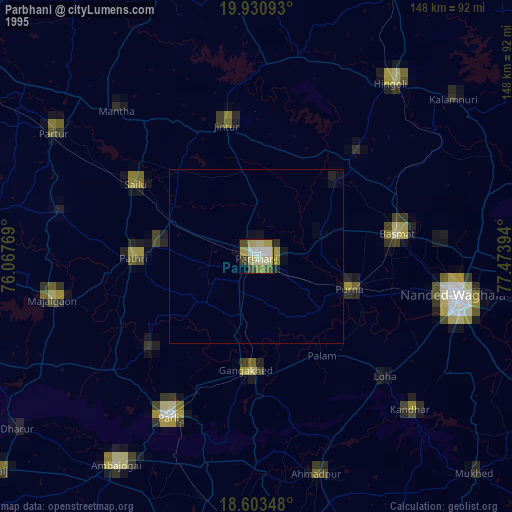
» NASA, Earths city lights 1995
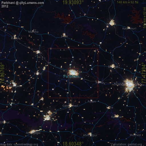
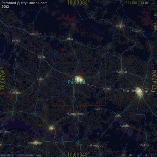
» NASA city lights 2003
» Earth at Night: Flat Maps 2012, 2016