Fatehābād night lights from space
Night Light of Fatehābād (Haryana) from space (India) Src. Average luminocity for 10x10km area is 27.6723% and for 50x50km: 4.0782%.
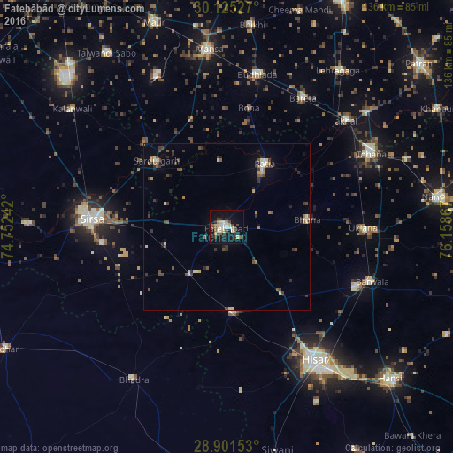
Analysis of Fatehābād night lights 2016
Square area 10x10 km:
 4.17%
4.17%90-99
3.41%80-89
5.68%70-79
1.89%60-69
2.27%50-59
3.22%40-49
6.25%30-39
2.84%20-29
4.73%10-19
27.84%0-9
37.69%Square area 50x50 km:
0.25%90-99
0.5%80-89
0.65%70-79
0.19%60-69
0.51%50-59
0.57%40-49
0.99%30-39
1.04%20-29
0.75%10-19
1.75%0-9
92.79%Clear (daylight) street map image can be seen on geolist.org.
Map coordinates:
30° 7' 31" North, 74° 45' 8.7" East
29° 30' 54.9" North, 75° 27' 19.9" East
28° 54' 5.5" North, 76° 9' 31.2" East
Some cities around Fatehābād sort by population:
• Gorakhpur
22.3 km =13.9 mi,  109°
109°
• Sirsa
41.3 km =25.7 mi,  273°
273°
• Barwāla
46.8 km =29.1 mi, 110°
• Ratia
22.7 km =14.1 mi,  31°
31°
• Budhlāda
47 km =29.2 mi,  12°
12°
• Sardulgarh
28.9 km =18 mi,  312°
312°
• Uklāna
40.9 km =25.4 mi,  90°
90°
• Inda Chhoi
35.2 km =21.9 mi,  66°
66°
1271934 (p: 66,013)
Sources (retrieved 2019-11-25):
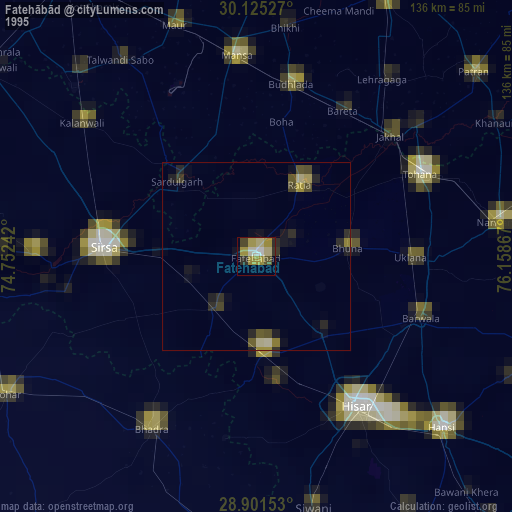
» NASA, Earths city lights 1995
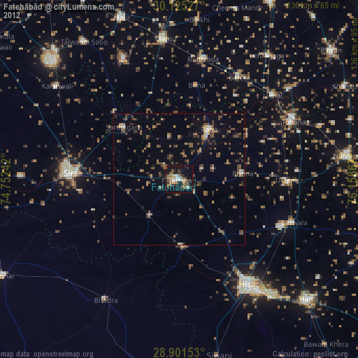
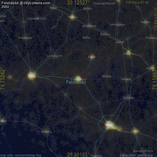
» NASA city lights 2003
» Earth at Night: Flat Maps 2012, 2016