Barwāla night lights from space
Night Light of Barwāla (Haryana) from space (India) Src. Average luminocity for 10x10km area is 16.7538% and for 50x50km: 7.0675%.
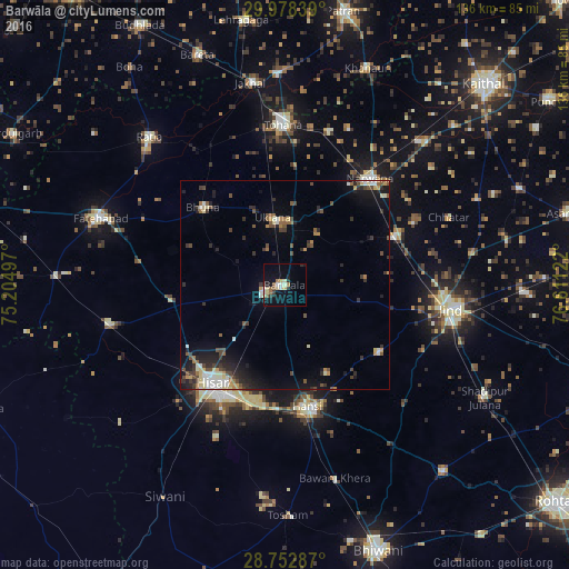
Analysis of Barwāla night lights 2016
Square area 10x10 km:
 1.52%
1.52%90-99
2.27%80-89
4.92%70-79
0%60-69
2.27%50-59
3.03%40-49
0%30-39
1.52%20-29
2.65%10-19
13.45%0-9
68.37%Square area 50x50 km:
0.55%90-99
1.14%80-89
0.97%70-79
0.55%60-69
0.64%50-59
1.11%40-49
1.27%30-39
1.22%20-29
2.06%10-19
4.26%0-9
86.25%Clear (daylight) street map image can be seen on geolist.org.
Map coordinates:
29° 58' 42.2" North, 75° 12' 17.9" East
29° 22' 2.9" North, 75° 54' 29.1" East
28° 45' 10.3" North, 76° 36' 40.4" East
Some cities around Barwāla sort by population:
• Gorakhpur
24.5 km =15.2 mi,  291°
291°
• Hisar
29.8 km =18.5 mi,  217°
217°
• Hānsi
29.9 km =18.6 mi,  169°
169°
• Narwāna
32.9 km =20.4 mi,  38°
38°
• Nārnaund
28 km =17.4 mi,  125°
125°
• Bara Uchāna
28.4 km =17.6 mi,  66°
66°
• Uklāna
16.2 km =10.1 mi,  349°
349°
• Inda Chhoi
32.4 km =20.1 mi,  339°
339°
1276815 (p: 36,694)
Sources (retrieved 2019-11-25):
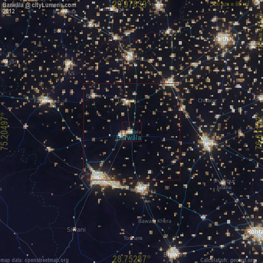
» Earth at Night: Flat Maps 2012, 2016