Gorakhpur night lights from space
Night Light of Gorakhpur (Haryana) from space (India) Src. Average luminocity for 10x10km area is 0.8371% and for 50x50km: 4.9071%.
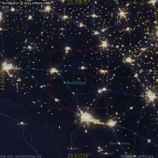
Analysis of Gorakhpur night lights 2016
Square area 10x10 km:
 0%
0%90-99
0%80-89
0%70-79
0%60-69
0%50-59
0%40-49
0.76%30-39
0.76%20-29
0.38%10-19
0%0-9
98.11%Square area 50x50 km:
0.28%90-99
0.55%80-89
0.73%70-79
0.29%60-69
0.55%50-59
0.9%40-49
1.02%30-39
1.03%20-29
0.87%10-19
2.69%0-9
91.09%Clear (daylight) street map image can be seen on geolist.org.
Map coordinates:
30° 3' 29.2" North, 74° 58' 8.2" East
29° 26' 51.6" North, 75° 40' 19.4" East
28° 50' 0.8" North, 76° 22' 30.7" East
Some cities around Gorakhpur sort by population:
• Hisar
33 km =20.5 mi,  171°
171°
• Fatehābād
22.3 km =13.9 mi,  289°
289°
• Tohāna
37.1 km =23.1 mi,  37°
37°
• Barwāla
24.5 km =15.2 mi,  111°
111°
• Ratia
28.5 km =17.7 mi,  341°
341°
• Uklāna
21.2 km =13.2 mi,  70°
70°
• Jākhal
41.4 km =25.7 mi,  20°
20°
• Inda Chhoi
24.3 km =15.1 mi,  28°
28°
1270926 (p: 1,324,570)
Sources (retrieved 2019-11-25):
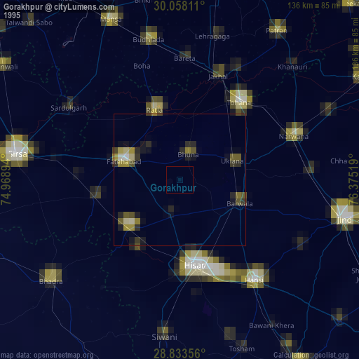
» NASA, Earths city lights 1995
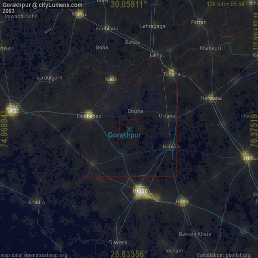
» NASA city lights 2003
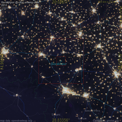
» Earth at Night: Flat Maps 2012, 2016