Mūl night lights from space
Night Light of Mūl (Maharashtra) from space (India) Src. Average luminocity for 10x10km area is 10.1508% and for 50x50km: 1.3226%.
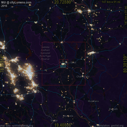
Analysis of Mūl night lights 2016
Square area 10x10 km:
 0.6%
0.6%90-99
0.99%80-89
2.38%70-79
0.79%60-69
2.18%50-59
0.99%40-49
0.99%30-39
3.37%20-29
1.98%10-19
0%0-9
85.71%Square area 50x50 km:
0.08%90-99
0.1%80-89
0.13%70-79
0.13%60-69
0.31%50-59
0.19%40-49
0.25%30-39
0.45%20-29
0.35%10-19
0.41%0-9
97.6%Clear (daylight) street map image can be seen on geolist.org.
Map coordinates:
20° 43' 44" North, 78° 58' 30.5" East
20° 4' 11.5" North, 79° 40' 41.7" East
19° 24' 29" North, 80° 22' 53" East
Some cities around Mūl sort by population:
• Chānda
42.2 km =26.2 mi,  251°
251°
• Ballālpur
42.7 km =26.5 mi,  234°
234°
• Warora
72.7 km =45.2 mi,  284°
284°
• Ghugus
61 km =37.9 mi,  256°
256°
• Rājūra
46 km =28.6 mi, 225°
• Chāndur
64.8 km =40.3 mi, 234°
• Durgāpur
39.9 km =24.8 mi, 259°
• Sirpur
66.5 km =41.3 mi,  189°
189°
1262574 (p: 23,984)
Sources (retrieved 2019-11-25):
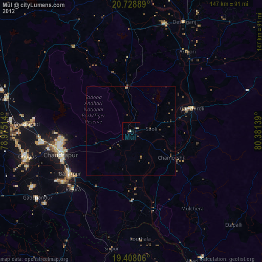
» Earth at Night: Flat Maps 2012, 2016