Dubrājpur night lights from space
Night Light of Dubrājpur (West Bengal) from space (India) Src. Average luminocity for 10x10km area is 47.3889% and for 50x50km: 34.7487%.
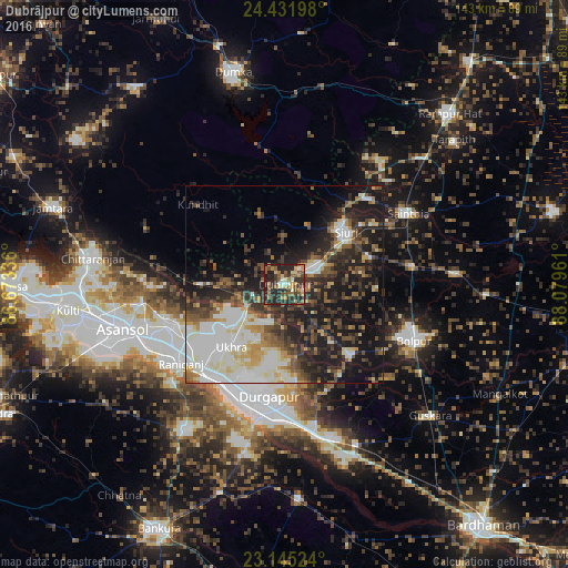
Analysis of Dubrājpur night lights 2016
Square area 10x10 km:
 3.77%
3.77%90-99
4.17%80-89
7.34%70-79
8.73%60-69
8.53%50-59
8.93%40-49
8.13%30-39
13.49%20-29
31.94%10-19
4.96%0-9
0%Square area 50x50 km:
5.46%90-99
8.87%80-89
3.45%70-79
3.36%60-69
3.14%50-59
5.08%40-49
5.5%30-39
6.08%20-29
11%10-19
18.54%0-9
29.51%Clear (daylight) street map image can be seen on geolist.org.
Map coordinates:
24° 25' 55.1" North, 86° 40' 24.1" East
23° 47' 24.7" North, 87° 22' 35.3" East
23° 8' 42.9" North, 88° 4' 46.6" East
Some cities around Dubrājpur sort by population:
• Durgapur
31.3 km =19.4 mi,  192°
192°
• Jāmuria
31.8 km =19.8 mi,  252°
252°
• Rānīganj
31.6 km =19.6 mi,  232°
232°
• Bolpur
35.6 km =22.1 mi,  113°
113°
• Siuri
20.2 km =12.6 mi,  49°
49°
• Sainthia
35.6 km =22.1 mi,  60°
60°
• Bahula
26.5 km =16.5 mi, 234°
• Ahmadpur
31.9 km =19.8 mi,  81°
81°
1272320 (p: 35,087)
Sources (retrieved 2019-11-25):
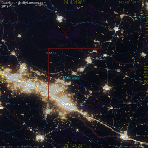
» Earth at Night: Flat Maps 2012, 2016