Rānīganj night lights from space
Night Light of Rānīganj (West Bengal) from space (India) Src. Average luminocity for 10x10km area is 92.6925% and for 50x50km: 59.0931%.
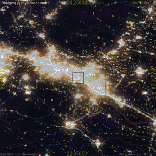
Analysis of Rānīganj night lights 2016
Square area 10x10 km:
 33.13%
90-99
44.84%80-89
6.35%70-79
5.56%60-69
8.33%50-59
1.79%40-49
0%30-39
0%20-29
0%10-19
0%0-9
0%Square area 50x50 km:
15.98%90-99
17.72%80-89
5.45%70-79
5.22%60-69
6.45%50-59
7.67%40-49
7.44%30-39
6.61%20-29
8.46%10-19
7.55%0-9
11.45%Clear (daylight) street map image can be seen on geolist.org.
Map coordinates:
24° 15' 32.5" North, 86° 25' 39" East
23° 36' 59" North, 87° 7' 50.2" East
22° 58' 14.1" North, 87° 50' 1.5" East
Some cities around Rānīganj sort by population:
• Durgapur
21.3 km =13.2 mi,  121°
121°
• Āsansol
16.7 km =10.4 mi,  296°
296°
• Kulti
31.9 km =19.8 mi,  293°
293°
• Jāmuria
11.1 km =6.9 mi,  331°
331°
• Dubrājpur
31.6 km =19.6 mi,  52°
52°
• Bahula
5.2 km =3.2 mi,  41°
41°
• Barjora
26.6 km =16.5 mi,  142°
142°
• Beliātor
34.2 km =21.3 mi,  164°
164°
1258470 (p: 131,261)
Sources (retrieved 2019-11-25):
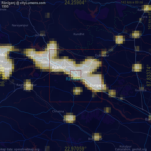
» NASA, Earths city lights 1995
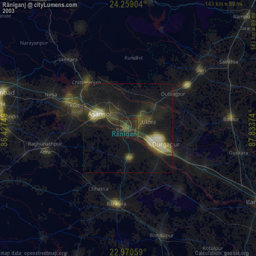
» NASA city lights 2003
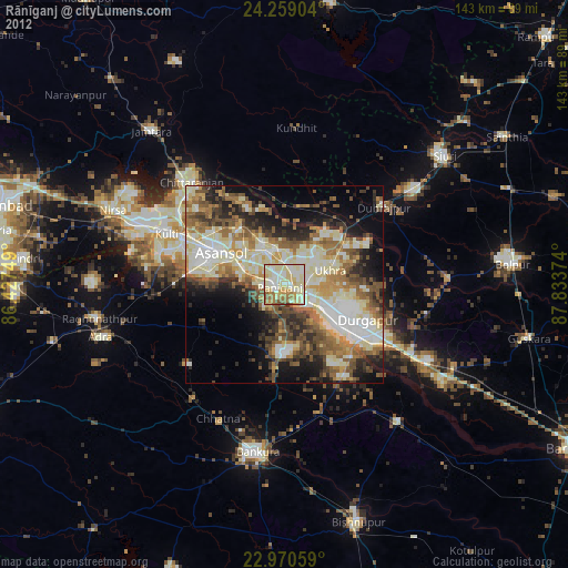
» Earth at Night: Flat Maps 2012, 2016