Bahula night lights from space
Night Light of Bahula (West Bengal) from space (India) Src. Average luminocity for 10x10km area is 98.1528% and for 50x50km: 57.5396%.
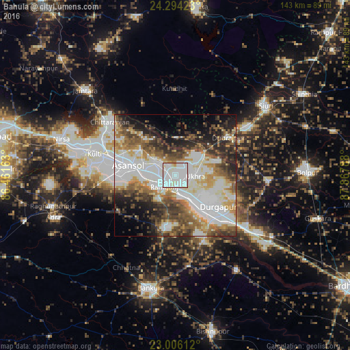
Analysis of Bahula night lights 2016
Square area 10x10 km:
 43.65%
90-99
52.18%80-89
3.37%70-79
0.79%60-69
0%50-59
0%40-49
0%30-39
0%20-29
0%10-19
0%0-9
0%Square area 50x50 km:
14.74%90-99
17.1%80-89
5.32%70-79
5.52%60-69
6.38%50-59
7.66%40-49
7.71%30-39
6.61%20-29
8.27%10-19
8.08%0-9
12.61%Clear (daylight) street map image can be seen on geolist.org.
Map coordinates:
24° 17' 39.2" North, 86° 27' 41.9" East
23° 39' 6.3" North, 87° 9' 53.1" East
23° 0' 22" North, 87° 52' 4.4" East
Some cities around Bahula sort by population:
• Durgapur
21 km =13 mi,  135°
135°
• Āsansol
18.8 km =11.7 mi,  280°
280°
• Kulti
33.9 km =21.1 mi,  285°
285°
• Jāmuria
10.6 km =6.6 mi,  303°
303°
• Rānīganj
5.2 km =3.2 mi,  221°
221°
• Chittaranjan
35 km =21.7 mi,  310°
310°
• Dubrājpur
26.5 km =16.5 mi,  54°
54°
• Barjora
28 km =17.4 mi,  152°
152°
7302862 (p: 16,264)
Sources (retrieved 2019-11-25):
» Earth at Night: Flat Maps 2012, 2016