Sainthia night lights from space
Night Light of Sainthia (West Bengal) from space (India) Src. Average luminocity for 10x10km area is 30.4981% and for 50x50km: 17.3894%.
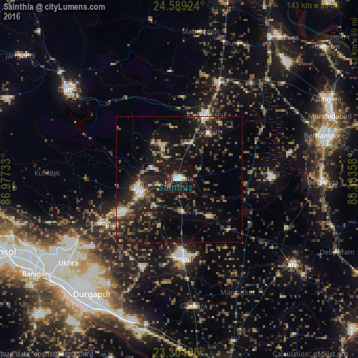
Analysis of Sainthia night lights 2016
Square area 10x10 km:
 2.65%
2.65%90-99
6.63%80-89
0.95%70-79
0%60-69
5.49%50-59
3.41%40-49
5.49%30-39
7.39%20-29
10.98%10-19
51.7%0-9
5.3%Square area 50x50 km:
0.95%90-99
1.71%80-89
1.33%70-79
1.15%60-69
2.16%50-59
3.26%40-49
4.03%30-39
4.31%20-29
7.63%10-19
19.86%0-9
53.63%Clear (daylight) street map image can be seen on geolist.org.
Map coordinates:
24° 35' 21.3" North, 86° 58' 38.4" East
23° 56' 53.7" North, 87° 40' 49.6" East
23° 18' 14.7" North, 88° 23' 0.9" East
Some cities around Sainthia sort by population:
• Bolpur
31.8 km =19.8 mi,  176°
176°
• Siuri
16.2 km =10.1 mi,  253°
253°
• Kāndi
36.6 km =22.7 mi,  88°
88°
• Rampur Hat
27.5 km =17.1 mi,  22°
22°
• Dubrājpur
35.6 km =22.1 mi,  240°
240°
• Guskhara
50.9 km =31.6 mi,  173°
173°
• Nalhāti
41.6 km =25.8 mi, 21°
• Ahmadpur
13.2 km =8.2 mi, 177°
1257751 (p: 43,221)
Sources (retrieved 2019-11-25):
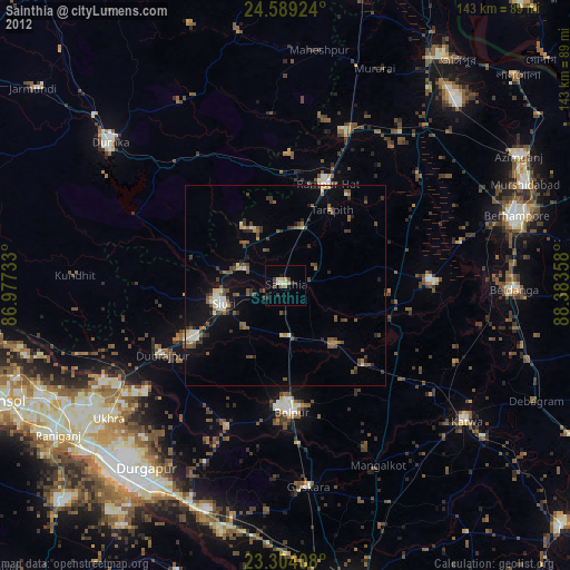
» Earth at Night: Flat Maps 2012, 2016