Bolpur night lights from space
Night Light of Bolpur (West Bengal) from space (India) Src. Average luminocity for 10x10km area is 58.1091% and for 50x50km: 19.4265%.
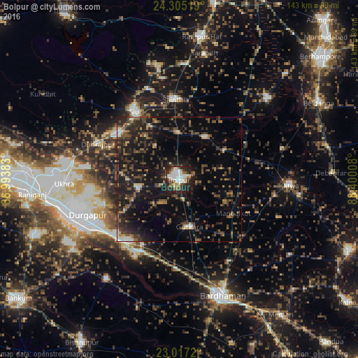
Analysis of Bolpur night lights 2016
Square area 10x10 km:
 12.5%
12.5%90-99
19.84%80-89
2.78%70-79
6.15%60-69
6.15%50-59
5.36%40-49
5.36%30-39
9.92%20-29
22.82%10-19
9.13%0-9
0%Square area 50x50 km:
0.98%90-99
1.92%80-89
1.19%70-79
1.44%60-69
2.3%50-59
3.52%40-49
5.05%30-39
5.43%20-29
8.83%10-19
17.82%0-9
51.5%Clear (daylight) street map image can be seen on geolist.org.
Map coordinates:
24° 18' 18.7" North, 86° 59' 37.8" East
23° 39' 46" North, 87° 41' 49" East
23° 1' 1.9" North, 88° 24' 0.3" East
Some cities around Bolpur sort by population:
• Durgapur
42.9 km =26.7 mi,  247°
247°
• Kātoya
44.4 km =27.6 mi,  92°
92°
• Siuri
32.3 km =20.1 mi,  327°
327°
• Kāndi
48 km =29.8 mi,  46°
46°
• Sainthia
31.8 km =19.8 mi,  356°
356°
• Dubrājpur
35.6 km =22.1 mi,  293°
293°
• Guskhara
19.3 km =12 mi,  168°
168°
• Ahmadpur
18.6 km =11.6 mi, 356°
1275346 (p: 70,998)
Sources (retrieved 2019-11-25):
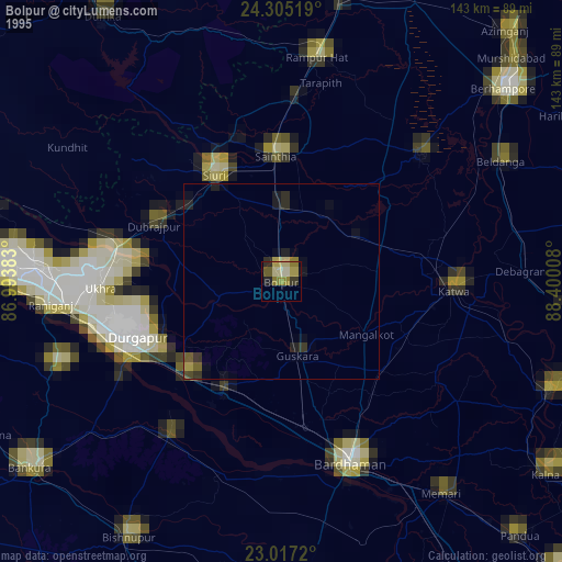
» NASA, Earths city lights 1995
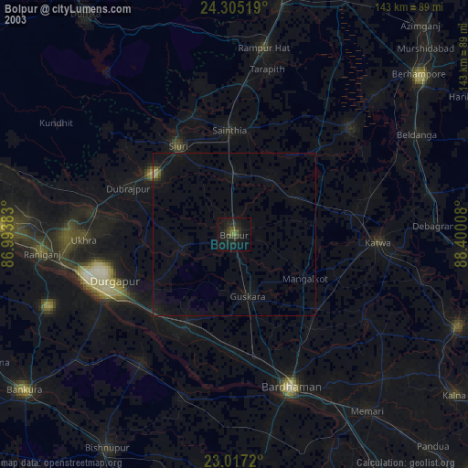
» NASA city lights 2003
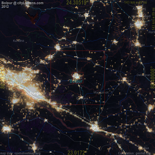
» Earth at Night: Flat Maps 2012, 2016