Seoni night lights from space
Night Light of Seoni (Madhya Pradesh) from space (India) Src. Average luminocity for 10x10km area is 46.004% and for 50x50km: 4.9472%.
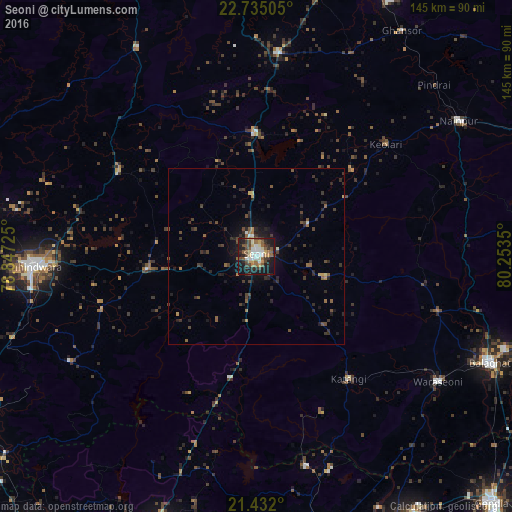
Analysis of Seoni night lights 2016
Square area 10x10 km:
 6.35%
6.35%90-99
9.33%80-89
4.56%70-79
5.75%60-69
4.96%50-59
10.52%40-49
8.53%30-39
7.14%20-29
12.1%10-19
28.57%0-9
2.18%Square area 50x50 km:
0.3%90-99
0.47%80-89
0.32%70-79
0.43%60-69
0.48%50-59
1.08%40-49
1.14%30-39
1.35%20-29
2.32%10-19
3.73%0-9
88.37%Clear (daylight) street map image can be seen on geolist.org.
Map coordinates:
22° 44' 6.2" North, 78° 50' 50.1" East
22° 5' 6.1" North, 79° 33' 1.3" East
21° 25' 55.2" North, 80° 15' 12.6" East
Some cities around Seoni sort by population:
• Chhindwāra
63 km =39.1 mi,  267°
267°
• Wārāseonī
62.2 km =38.6 mi,  125°
125°
• Lakhnādon
57.5 km =35.7 mi,  5°
5°
• Katangi
43.5 km =27 mi,  142°
142°
• Amarwāra
45.8 km =28.5 mi,  301°
301°
• Barghāt
19.7 km =12.2 mi,  107°
107°
• Tirodi
47.7 km =29.6 mi,  158°
158°
• Hīrāpur Hamesha
63.7 km =39.6 mi, 157°
1256826 (p: 101,379)
Sources (retrieved 2019-11-25):
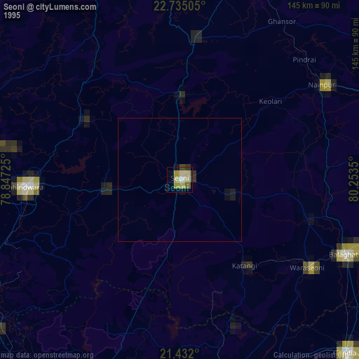
» NASA, Earths city lights 1995
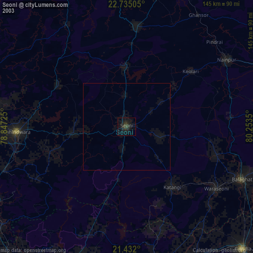
» NASA city lights 2003
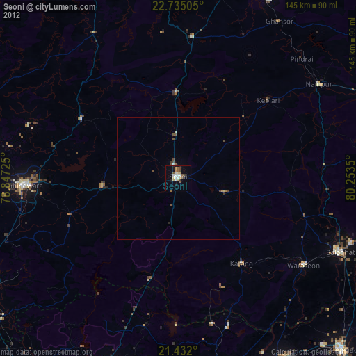
» Earth at Night: Flat Maps 2012, 2016