Polūr night lights from space
Night Light of Polūr (Tamil Nadu) from space (India) Src. Average luminocity for 10x10km area is 18.0368% and for 50x50km: 6.6169%.
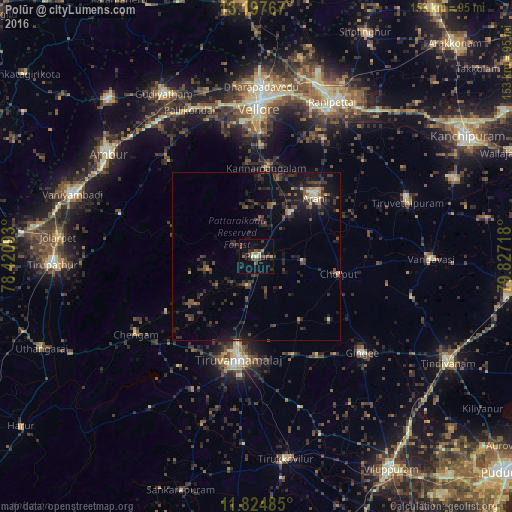
Analysis of Polūr night lights 2016
Square area 10x10 km:
 0.22%
0.22%90-99
1.52%80-89
2.38%70-79
0.43%60-69
2.81%50-59
3.68%40-49
6.28%30-39
2.6%20-29
6.93%10-19
6.93%0-9
66.23%Square area 50x50 km:
0.01%90-99
0.51%80-89
0.54%70-79
0.37%60-69
0.43%50-59
1.09%40-49
1.84%30-39
2.64%20-29
3.21%10-19
5.87%0-9
83.48%Clear (daylight) street map image can be seen on geolist.org.
Map coordinates:
13° 11' 51.6" North, 78° 25' 15.3" East
12° 30' 43.8" North, 79° 7' 26.6" East
11° 49' 29.5" North, 79° 49' 37.8" East
Some cities around Polūr sort by population:
• Tiruvannāmalai
32.2 km =20 mi,  189°
189°
• Arni
24.6 km =15.3 mi,  45°
45°
• Chengam
42.6 km =26.5 mi,  237°
237°
• Alangāyam
42.2 km =26.2 mi,  286°
286°
• Odugattūr
38.6 km =24 mi,  317°
317°
• Pennāthur
31.5 km =19.6 mi,  159°
159°
• Peranamallūr
34.2 km =21.3 mi,  79°
79°
• Desūr
39.7 km =24.7 mi,  102°
102°
1259434 (p: 26,290)
Sources (retrieved 2019-11-25):
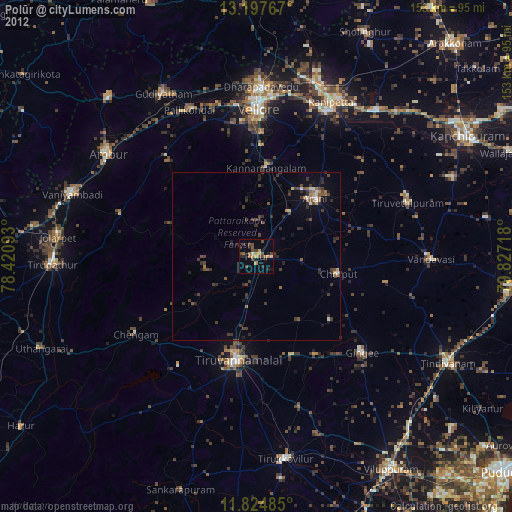
» Earth at Night: Flat Maps 2012, 2016