Vaniyambadi night lights from space
Night Light of Vaniyambadi (Tamil Nadu) from space (India) Src. Average luminocity for 10x10km area is 47.7965% and for 50x50km: 13.1453%.
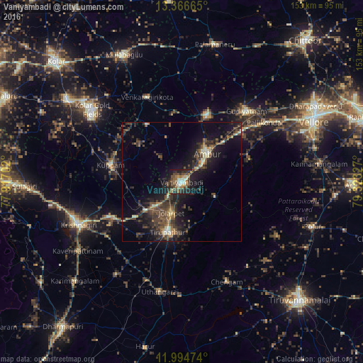
Analysis of Vaniyambadi night lights 2016
Square area 10x10 km:
 3.03%
3.03%90-99
8.66%80-89
6.49%70-79
4.76%60-69
9.09%50-59
10.39%40-49
12.99%30-39
8.87%20-29
17.75%10-19
17.1%0-9
0.87%Square area 50x50 km:
0.25%90-99
1.41%80-89
1.38%70-79
0.87%60-69
1.69%50-59
2.46%40-49
3.93%30-39
4.24%20-29
5.49%10-19
11.72%0-9
66.55%Clear (daylight) street map image can be seen on geolist.org.
Map coordinates:
13° 21' 59.9" North, 77° 55' 1.3" East
12° 40' 53.8" North, 78° 37' 12.5" East
11° 59' 41.1" North, 79° 19' 23.8" East
Some cities around Vaniyambadi sort by population:
• Ambur
16.1 km =10 mi,  40°
40°
• Gudiyatham
40.3 km =25 mi, 43°
• Peranāmpattu
30.1 km =18.7 mi,  20°
20°
• Jalārpet
13.4 km =8.3 mi,  202°
202°
• Kuppam
31.1 km =19.3 mi,  284°
284°
• Alangāyam
15.8 km =9.8 mi,  114°
114°
• Odugattūr
30.1 km =18.7 mi,  71°
71°
• Kunnattūr
39 km =24.2 mi, 197°
1253437 (p: 90,288)
Sources (retrieved 2019-11-25):
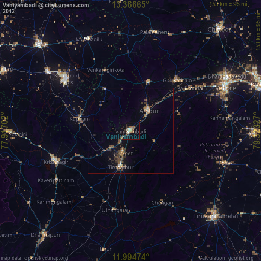
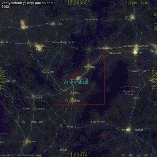
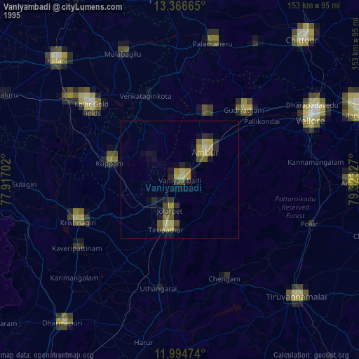
» NASA, Earths city lights 1995
» NASA city lights 2003
» Earth at Night: Flat Maps 2012, 2016