Tiruvannāmalai night lights from space
Night Light of Tiruvannāmalai (Tamil Nadu) from space (India) Src. Average luminocity for 10x10km area is 57.1012% and for 50x50km: 7.2524%.
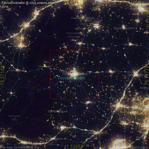
Analysis of Tiruvannāmalai night lights 2016
Square area 10x10 km:
 4.55%
4.55%90-99
14.05%80-89
13.22%70-79
7.64%60-69
6.82%50-59
10.33%40-49
9.92%30-39
9.5%20-29
12.4%10-19
11.36%0-9
0.21%Square area 50x50 km:
0.19%90-99
0.8%80-89
0.66%70-79
0.56%60-69
0.56%50-59
1.29%40-49
1.84%30-39
2.53%20-29
3.71%10-19
4.97%0-9
82.88%Clear (daylight) street map image can be seen on geolist.org.
Map coordinates:
12° 54' 46.4" North, 78° 22' 17.4" East
12° 13' 35.8" North, 79° 4' 28.6" East
11° 32' 18.9" North, 79° 46' 39.9" East
Some cities around Tiruvannāmalai sort by population:
• Tirukkoyilur
32.1 km =19.9 mi,  154°
154°
• Polūr
32.2 km =20 mi,  9°
9°
• Chengam
32.1 km =19.9 mi,  286°
286°
• Gingee
37.3 km =23.2 mi,  85°
85°
• Vettavalam
22.8 km =14.2 mi,  125°
125°
• Alagāpuram
41.4 km =25.7 mi,  204°
204°
• Pennāthur
16.6 km =10.3 mi,  82°
82°
• Manalūrpettai
24.4 km =15.2 mi,  175°
175°
1254327 (p: 138,243)
Sources (retrieved 2019-11-25):
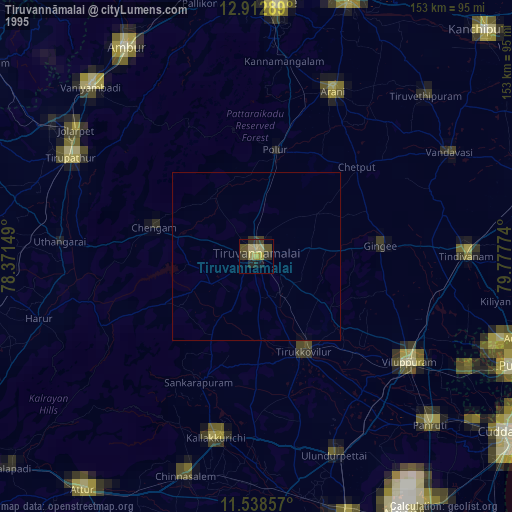
» NASA, Earths city lights 1995
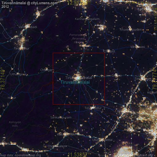
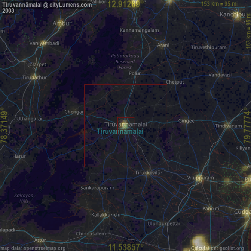
» NASA city lights 2003
» Earth at Night: Flat Maps 2012, 2016