Bagaha night lights from space
Night Light of Bagaha (Bihar) from space (India) Src. Average luminocity for 10x10km area is 20.6925% and for 50x50km: 22.5469%.
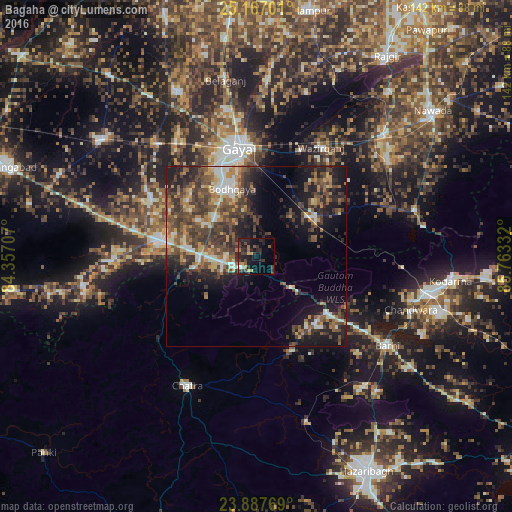
Analysis of Bagaha night lights 2016
Square area 10x10 km:
 0.99%
0.99%90-99
0.6%80-89
1.39%70-79
2.98%60-69
3.37%50-59
2.58%40-49
4.37%30-39
7.14%20-29
13.89%10-19
19.84%0-9
42.86%Square area 50x50 km:
1.85%90-99
2.65%80-89
1.92%70-79
3.07%60-69
3.37%50-59
4.66%40-49
7.13%30-39
5.96%20-29
7.64%10-19
11.71%0-9
50.04%Clear (daylight) street map image can be seen on geolist.org.
Map coordinates:
25° 10' 1.2" North, 84° 21' 25.5" East
24° 31' 44.3" North, 85° 3' 36.7" East
23° 53' 15.7" North, 85° 45' 48" East
Some cities around Bagaha sort by population:
• Gaya
30.3 km =18.8 mi,  349°
349°
• Jumri Tilaiyā
48.6 km =30.2 mi,  102°
102°
• Chatrā
40.7 km =25.3 mi,  208°
208°
• Sherghāti
27.4 km =17 mi,  277°
277°
• Buddh Gaya
20.2 km =12.6 mi,  338°
338°
• Hisuā
49.5 km =30.8 mi,  46°
46°
• Tekāri
51 km =31.7 mi,  334°
334°
• patamda
44.2 km =27.5 mi,  125°
125°
1277940 (p: 91,383)
Sources (retrieved 2019-11-25):
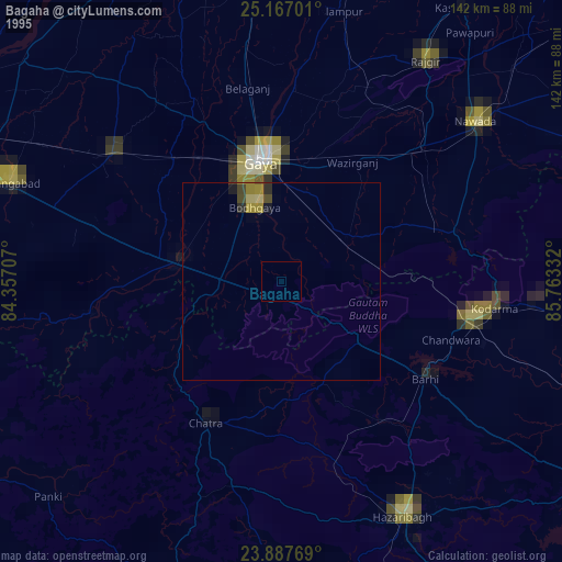
» NASA, Earths city lights 1995
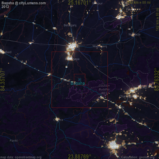
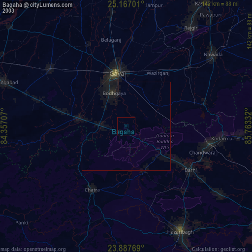
» NASA city lights 2003
» Earth at Night: Flat Maps 2012, 2016