Buddh Gaya night lights from space
Night Light of Buddh Gaya (Bihar) from space (India) Src. Average luminocity for 10x10km area is 73.5159% and for 50x50km: 36.6172%.
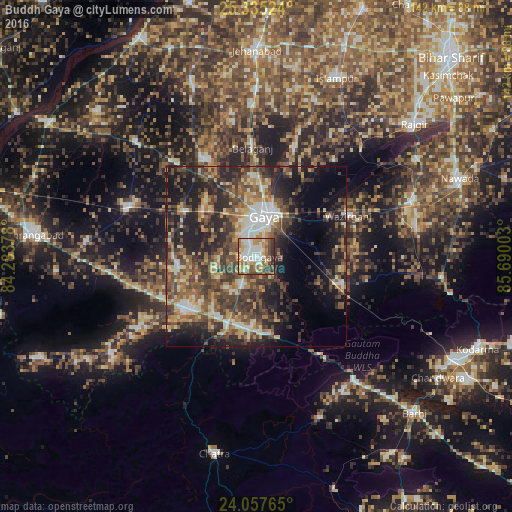
Analysis of Buddh Gaya night lights 2016
Square area 10x10 km:
 17.86%
90-99
18.65%80-89
9.13%70-79
11.71%60-69
14.29%50-59
8.93%40-49
9.72%30-39
6.35%20-29
3.37%10-19
0%0-9
0%Square area 50x50 km:
3.81%90-99
4.91%80-89
4.15%70-79
4.7%60-69
5.8%50-59
7.17%40-49
10.04%30-39
8.65%20-29
13.01%10-19
14.55%0-9
23.22%Clear (daylight) street map image can be seen on geolist.org.
Map coordinates:
25° 20' 6.9" North, 84° 17' 1.6" East
24° 41' 53.1" North, 84° 59' 12.8" East
24° 3' 27.5" North, 85° 41' 24.1" East
Some cities around Buddh Gaya sort by population:
• Gaya
11.1 km =6.9 mi,  8°
8°
• Bagaha
20.2 km =12.6 mi,  158°
158°
• Chatrā
55.9 km =34.7 mi,  192°
192°
• Sherghāti
25 km =15.5 mi,  232°
232°
• Islāmpur
53.9 km =33.5 mi,  24°
24°
• Hisuā
46 km =28.6 mi,  70°
70°
• Rafiganj
38 km =23.6 mi,  290°
290°
• Tekāri
30.8 km =19.1 mi,  331°
331°
1275389 (p: 35,188)
Sources (retrieved 2019-11-25):
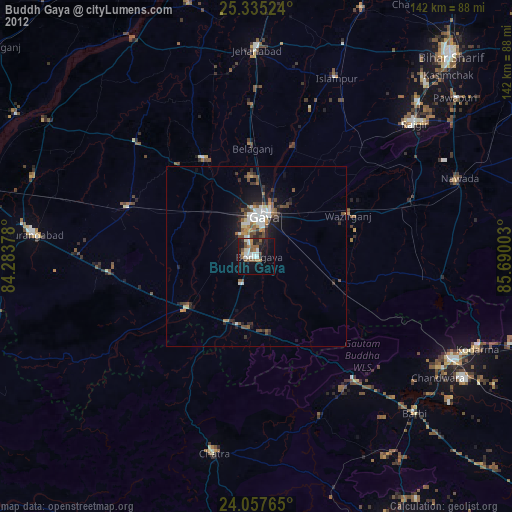
» Earth at Night: Flat Maps 2012, 2016