Gaya night lights from space
Night Light of Gaya (Bihar) from space (India) Src. Average luminocity for 10x10km area is 88.0663% and for 50x50km: 38.1572%.


Analysis of Gaya night lights 2016
Square area 10x10 km:
 34.09%
90-99
30.49%80-89
10.61%70-79
6.25%60-69
9.28%50-59
5.11%40-49
3.03%30-39
0.95%20-29
0.19%10-19
0%0-9
0%Square area 50x50 km:
3.52%90-99
4.33%80-89
4.01%70-79
4.61%60-69
6.12%50-59
8.19%40-49
11%30-39
9.67%20-29
16.9%10-19
16.17%0-9
15.49%Clear (daylight) street map image can be seen on geolist.org.
Map coordinates:
25° 26' 0.6" North, 84° 18' 2.6" East
24° 47' 48.7" North, 85° 0' 13.9" East
24° 9' 24.9" North, 85° 42' 25.1" East
Some cities around Gaya sort by population:
• Jahānābād
46.4 km =28.8 mi,  357°
357°
• Bagaha
30.3 km =18.8 mi,  169°
169°
• Sherghāti
34 km =21.1 mi,  219°
219°
• Buddh Gaya
11.1 km =6.9 mi,  188°
188°
• Islāmpur
43.3 km =26.9 mi,  28°
28°
• Hisuā
41.9 km =26 mi,  84°
84°
• Rafiganj
37.4 km =23.2 mi,  273°
273°
• Tekāri
23 km =14.3 mi,  314°
314°
1271439 (p: 423,692)
Sources (retrieved 2019-11-25):
» NASA, Earths city lights 1995
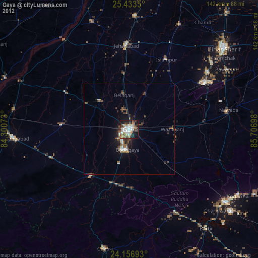
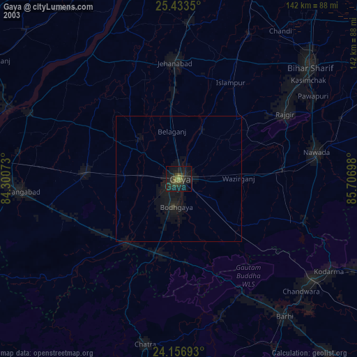
» NASA city lights 2003
» Earth at Night: Flat Maps 2012, 2016