Chanduasi night lights from space
Night Light of Chanduasi (Uttar Pradesh) from space (India) Src. Average luminocity for 10x10km area is 39.2202% and for 50x50km: 14.9107%.
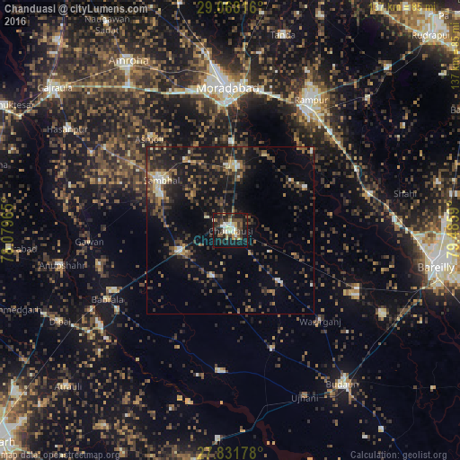
Analysis of Chanduasi night lights 2016
Square area 10x10 km:
 2.78%
2.78%90-99
9.33%80-89
4.96%70-79
4.37%60-69
1.98%50-59
5.16%40-49
10.52%30-39
8.13%20-29
11.71%10-19
37.1%0-9
3.97%Square area 50x50 km:
0.62%90-99
1.37%80-89
1.14%70-79
1.22%60-69
1.62%50-59
2.69%40-49
4.21%30-39
4.49%20-29
6.13%10-19
13.76%0-9
62.75%Clear (daylight) street map image can be seen on geolist.org.
Map coordinates:
29° 4' 5.4" North, 78° 4' 46.7" East
28° 27' 6.4" North, 78° 46' 58" East
27° 49' 54.4" North, 79° 29' 9.2" East
Some cities around Chanduasi sort by population:
• Sambhal
25.6 km =15.9 mi,  305°
305°
• Shāhābād
25.6 km =15.9 mi,  60°
60°
• Bahjoi
16.5 km =10.3 mi,  247°
247°
• Bisauli
22 km =13.7 mi,  136°
136°
• Bilāri
19 km =11.8 mi,  6°
6°
• Islāmnagar
14.8 km =9.2 mi,  202°
202°
• Sirsi
24.9 km =15.5 mi,  326°
326°
• Narauli
7.6 km =4.7 mi,  299°
299°
1274767 (p: 112,635)
Sources (retrieved 2019-11-25):
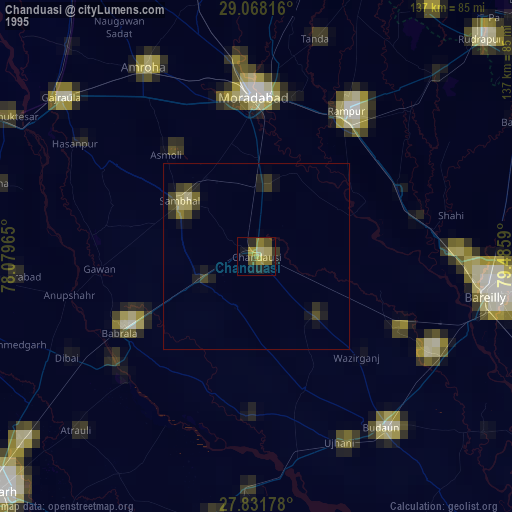
» NASA, Earths city lights 1995
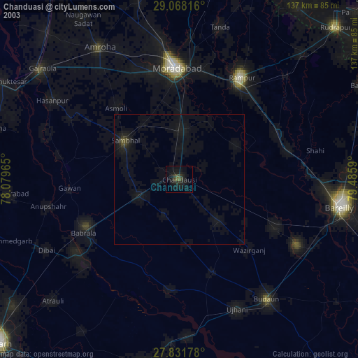
» NASA city lights 2003
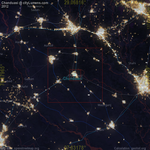
» Earth at Night: Flat Maps 2012, 2016