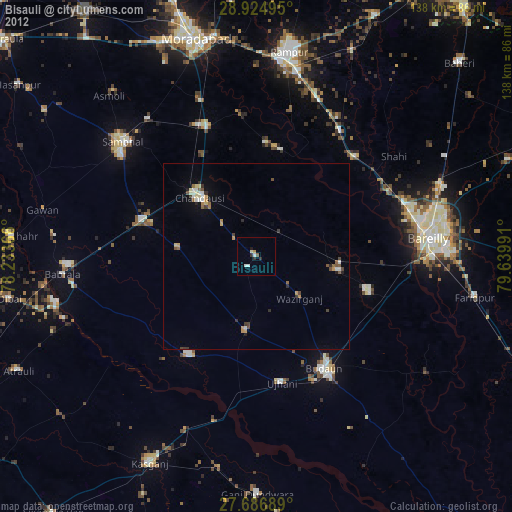
Bisauli night lights from space
Night Light of Bisauli (Uttar Pradesh) from space (India) Src. Average luminocity for 10x10km area is 13.2996% and for 50x50km: 8.4537%.
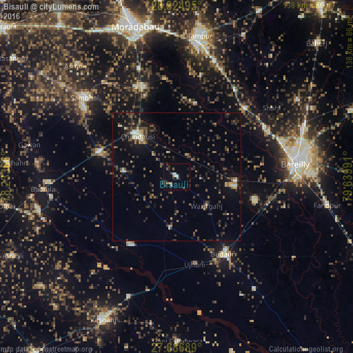
Analysis of Bisauli night lights 2016
Square area 10x10 km:
 0.79%
0.79%90-99
2.38%80-89
0%70-79
0.6%60-69
2.98%50-59
3.17%40-49
1.39%30-39
1.98%20-29
3.77%10-19
2.38%0-9
80.56%Square area 50x50 km:
0.25%90-99
0.77%80-89
0.39%70-79
0.62%60-69
1%50-59
1.24%40-49
2.47%30-39
2.83%20-29
3.24%10-19
5.39%0-9
81.81%Clear (daylight) street map image can be seen on geolist.org.
Map coordinates:
28° 55' 29.8" North, 78° 14' 1.2" East
28° 18' 27.8" North, 78° 56' 12.4" East
27° 41' 12.8" North, 79° 38' 23.7" East
Some cities around Bisauli sort by population:
• Chanduasi
22 km =13.7 mi,  316°
316°
• Aonla
22.7 km =14.1 mi,  99°
99°
• Shāhābād
29.7 km =18.5 mi,  13°
13°
• Islāmnagar
20.8 km =12.9 mi,  276°
276°
• Bilsi
20 km =12.4 mi,  187°
187°
• Sarauli
25.7 km =16 mi,  36°
36°
• Wazīrganj
15.9 km =9.9 mi,  132°
132°
• Narauli
29.4 km =18.3 mi,  312°
312°
1275476 (p: 32,154)
Sources (retrieved 2019-11-25):
» Earth at Night: Flat Maps 2012, 2016