Islāmnagar night lights from space
Night Light of Islāmnagar (Uttar Pradesh) from space (India) Src. Average luminocity for 10x10km area is 14.5278% and for 50x50km: 8.7963%.
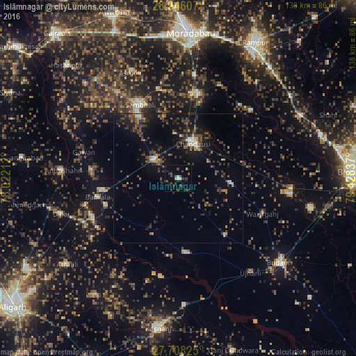
Analysis of Islāmnagar night lights 2016
Square area 10x10 km:
 0.6%
0.6%90-99
0.99%80-89
1.59%70-79
0.79%60-69
0%50-59
1.59%40-49
6.75%30-39
4.76%20-29
4.76%10-19
7.54%0-9
70.63%Square area 50x50 km:
0.23%90-99
0.8%80-89
0.41%70-79
0.74%60-69
0.85%50-59
1.63%40-49
2.57%30-39
2.79%20-29
3.41%10-19
7.07%0-9
79.51%Clear (daylight) street map image can be seen on geolist.org.
Map coordinates:
28° 56' 45.9" North, 78° 1' 19.6" East
28° 19' 44.3" North, 78° 43' 30.9" East
27° 42' 29.7" North, 79° 25' 42.1" East
Some cities around Islāmnagar sort by population:
• Chanduasi
14.8 km =9.2 mi,  22°
22°
• Sahaswān
28.7 km =17.8 mi,  174°
174°
• Bahjoi
12.1 km =7.5 mi,  307°
307°
• Bisauli
20.8 km =12.9 mi,  96°
96°
• Bilsi
28.7 km =17.8 mi,  140°
140°
• Gunnaur
29.6 km =18.4 mi,  250°
250°
• Narauli
17.4 km =10.8 mi,  356°
356°
• Babrāla
32.1 km =19.9 mi,  257°
257°
1269670 (p: 29,144)
Sources (retrieved 2019-11-25):
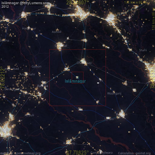
» Earth at Night: Flat Maps 2012, 2016