Shāhābād night lights from space
Night Light of Shāhābād (Uttar Pradesh) from space (India) Src. Average luminocity for 10x10km area is 12.733% and for 50x50km: 15.3876%.
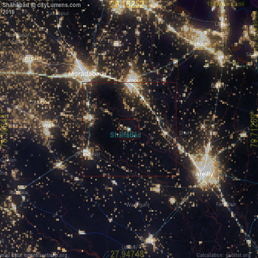
Analysis of Shāhābād night lights 2016
Square area 10x10 km:
 1.7%
1.7%90-99
0.76%80-89
0.57%70-79
1.14%60-69
0.38%50-59
2.08%40-49
4.36%30-39
4.17%20-29
1.52%10-19
2.27%0-9
81.06%Square area 50x50 km:
0.75%90-99
1.4%80-89
1.43%70-79
1.02%60-69
1.63%50-59
2.82%40-49
4.43%30-39
4.49%20-29
6.62%10-19
13.47%0-9
61.95%Clear (daylight) street map image can be seen on geolist.org.
Map coordinates:
29° 10' 57.1" North, 78° 18' 23.2" East
28° 34' 0.5" North, 79° 0' 34.4" East
27° 56' 50.9" North, 79° 42' 45.7" East
Some cities around Shāhābād sort by population:
• Rāmpur
27.1 km =16.8 mi,  3°
3°
• Chanduasi
25.6 km =15.9 mi,  240°
240°
• Bisauli
29.7 km =18.5 mi,  193°
193°
• Bilāri
21 km =13 mi,  286°
286°
• Milak
16.4 km =10.2 mi,  72°
72°
• Kundarkhi
25.4 km =15.8 mi,  300°
300°
• Sarauli
11.4 km =7.1 mi,  135°
135°
• Mīrganj
19.6 km =12.2 mi,  98°
98°
1256753 (p: 34,962)
Sources (retrieved 2019-11-25):
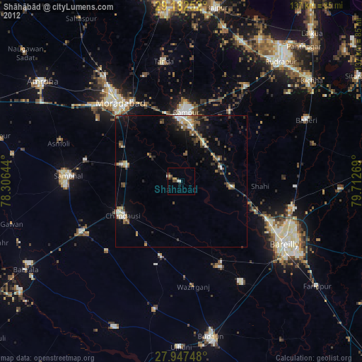
» Earth at Night: Flat Maps 2012, 2016