Sambhal night lights from space
Night Light of Sambhal (Uttar Pradesh) from space (India) Src. Average luminocity for 10x10km area is 52.2519% and for 50x50km: 25.043%.
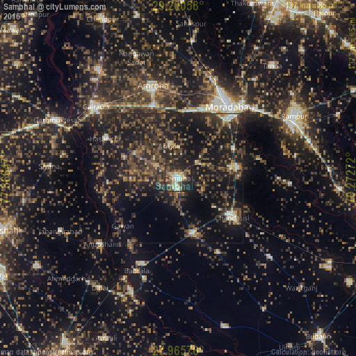
Analysis of Sambhal night lights 2016
Square area 10x10 km:
 5.49%
5.49%90-99
9.47%80-89
10.61%70-79
5.3%60-69
7.39%50-59
9.09%40-49
9.28%30-39
12.31%20-29
23.3%10-19
7.77%0-9
0%Square area 50x50 km:
0.69%90-99
1.61%80-89
1.86%70-79
2.03%60-69
3.17%50-59
5.65%40-49
7.93%30-39
8.75%20-29
13.8%10-19
25.92%0-9
28.59%Clear (daylight) street map image can be seen on geolist.org.
Map coordinates:
29° 12' 2.1" North, 77° 51' 59.3" East
28° 35' 5.9" North, 78° 34' 10.5" East
27° 57' 56.7" North, 79° 16' 21.8" East
Some cities around Sambhal sort by population:
• Chanduasi
25.6 km =15.9 mi,  125°
125°
• Hasanpur
31.8 km =19.8 mi,  298°
298°
• Bahjoi
21.8 km =13.5 mi,  165°
165°
• Bilāri
23.2 km =14.4 mi,  79°
79°
• Kundarkhi
23.7 km =14.7 mi,  62°
62°
• Sirsi
9.4 km =5.8 mi,  49°
49°
• Narauli
18 km =11.2 mi, 127°
• Gawān
28.1 km =17.5 mi,  229°
229°
1257540 (p: 196,109)
Sources (retrieved 2019-11-25):
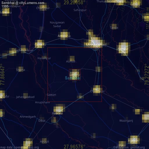
» NASA, Earths city lights 1995
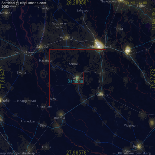
» NASA city lights 2003
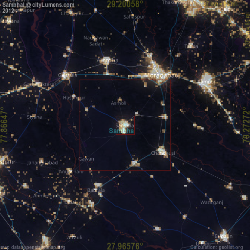
» Earth at Night: Flat Maps 2012, 2016