Bahjoi night lights from space
Night Light of Bahjoi (Uttar Pradesh) from space (India) Src. Average luminocity for 10x10km area is 25.627% and for 50x50km: 14.731%.
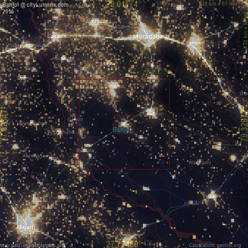
Analysis of Bahjoi night lights 2016
Square area 10x10 km:
 1.59%
1.59%90-99
2.38%80-89
0.99%70-79
3.77%60-69
1.59%50-59
6.55%40-49
8.73%30-39
6.75%20-29
8.53%10-19
24.01%0-9
35.12%Square area 50x50 km:
0.57%90-99
1.26%80-89
1.1%70-79
1.42%60-69
1.67%50-59
2.77%40-49
4.42%30-39
4.52%20-29
5.81%10-19
13.61%0-9
62.85%Clear (daylight) street map image can be seen on geolist.org.
Map coordinates:
29° 0' 42.3" North, 77° 55' 24.5" East
28° 23' 42.1" North, 78° 37' 35.7" East
27° 46' 28.9" North, 79° 19' 47" East
Some cities around Bahjoi sort by population:
• Sambhal
21.8 km =13.5 mi,  345°
345°
• Chanduasi
16.5 km =10.3 mi,  67°
67°
• Islāmnagar
12.1 km =7.5 mi,  127°
127°
• Sirsi
27.2 km =16.9 mi,  3°
3°
• Gunnaur
25.1 km =15.6 mi,  226°
226°
• Narauli
13.3 km =8.3 mi,  40°
40°
• Babrāla
26.1 km =16.2 mi,  236°
236°
• Gawān
27 km =16.8 mi,  275°
275°
1277808 (p: 33,752)
Sources (retrieved 2019-11-25):
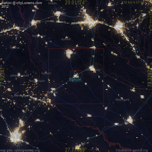
» Earth at Night: Flat Maps 2012, 2016