Bindki night lights from space
Night Light of Bindki (Uttar Pradesh) from space (India) Src. Average luminocity for 10x10km area is 28.3452% and for 50x50km: 12.7907%.
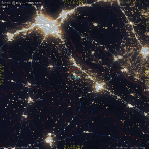
Analysis of Bindki night lights 2016
Square area 10x10 km:
 2.38%
2.38%90-99
1.98%80-89
1.19%70-79
3.57%60-69
1.39%50-59
4.96%40-49
5.95%30-39
10.91%20-29
15.08%10-19
42.46%0-9
10.12%Square area 50x50 km:
1.01%90-99
1.67%80-89
0.65%70-79
1.18%60-69
1.37%50-59
1.61%40-49
3.33%30-39
3.87%20-29
5.45%10-19
10.69%0-9
69.15%Clear (daylight) street map image can be seen on geolist.org.
Map coordinates:
26° 39' 58.3" North, 79° 52' 23" East
26° 2' 10.1" North, 80° 34' 34.2" East
25° 24' 9.6" North, 81° 16' 45.5" East
Some cities around Bindki sort by population:
• Fatehpur
26.5 km =16.5 mi,  117°
117°
• Ghātampur
42.8 km =26.6 mi,  287°
287°
• Hamīrpur
43.7 km =27.2 mi,  258°
258°
• Dalmau
45.4 km =28.2 mi,  85°
85°
• Tindwāri
46.8 km =29.1 mi,  186°
186°
• Bahua
22.4 km =13.9 mi,  168°
168°
• Bhagwantnagar
27.6 km =17.1 mi,  40°
40°
• Bīghāpur Khurd
35.5 km =22.1 mi,  13°
13°
1275572 (p: 36,058)
Sources (retrieved 2019-11-25):
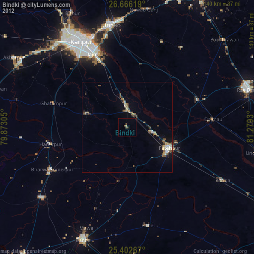
» Earth at Night: Flat Maps 2012, 2016