Bilimora night lights from space
Night Light of Bilimora (Gujarat) from space (India) Src. Average luminocity for 10x10km area is 23.5795% and for 50x50km: 11.4819%.
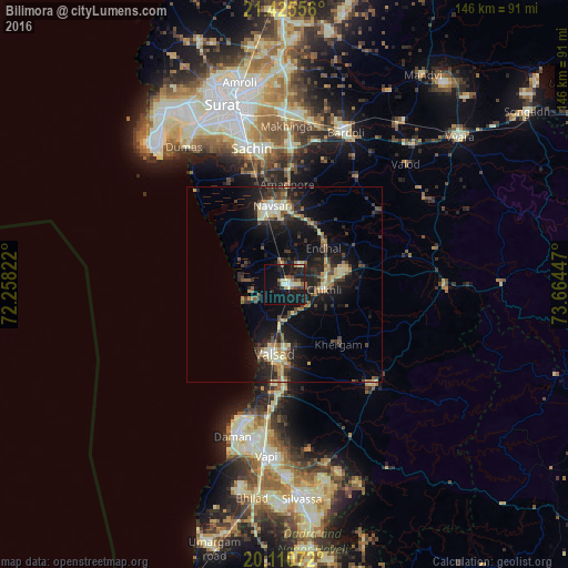
Analysis of Bilimora night lights 2016
Square area 10x10 km:
 0.57%
0.57%90-99
5.11%80-89
3.41%70-79
1.33%60-69
3.79%50-59
1.7%40-49
3.79%30-39
0.76%20-29
8.52%10-19
36.55%0-9
34.47%Square area 50x50 km:
0.29%90-99
1.73%80-89
1.84%70-79
1.05%60-69
1.42%50-59
1.6%40-49
1.83%30-39
2.59%20-29
4.31%10-19
11.63%0-9
71.71%Clear (daylight) street map image can be seen on geolist.org.
Map coordinates:
21° 25' 32" North, 72° 15' 29.6" East
20° 46' 10.5" North, 72° 57' 40.8" East
20° 6' 38.6" North, 73° 39' 52.1" East
Some cities around Bilimora sort by population:
• Navsāri
19.6 km =12.2 mi,  348°
348°
• Valsād
18 km =11.2 mi,  189°
189°
• Pārdi
29.1 km =18.1 mi,  183°
183°
• Abrama
11.4 km =7.1 mi,  330°
330°
• Jalālpur
21 km =13 mi,  341°
341°
• Gandevi
6.1 km =3.8 mi,  38°
38°
• Parnera
23.2 km =14.4 mi, 183°
• Chikhli
10.6 km =6.6 mi,  97°
97°
1275610 (p: 510,879)
Sources (retrieved 2019-11-25):
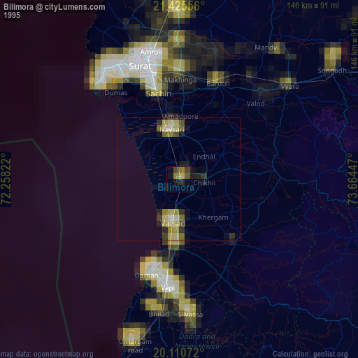
» NASA, Earths city lights 1995
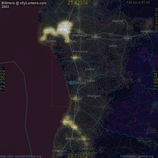
» NASA city lights 2003
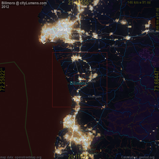
» Earth at Night: Flat Maps 2012, 2016