Abrama night lights from space
Night Light of Abrama (Gujarat) from space (India) Src. Average luminocity for 10x10km area is 6.8631% and for 50x50km: 13.1051%.
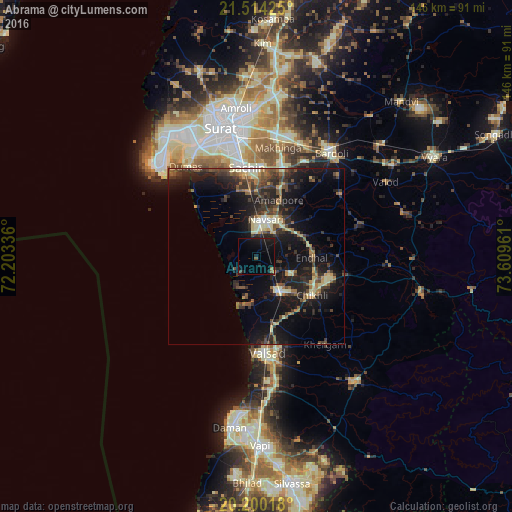
Analysis of Abrama night lights 2016
Square area 10x10 km:
 0%
0%90-99
0%80-89
0%70-79
0.4%60-69
0.79%50-59
1.19%40-49
0.6%30-39
0.99%20-29
0.4%10-19
16.27%0-9
79.37%Square area 50x50 km:
0.34%90-99
1.43%80-89
1.73%70-79
1.02%60-69
1.66%50-59
2.3%40-49
2.75%30-39
3.63%20-29
5.63%10-19
14.09%0-9
65.43%Clear (daylight) street map image can be seen on geolist.org.
Map coordinates:
21° 30' 51.3" North, 72° 12' 12.1" East
20° 51' 31.1" North, 72° 54' 23.3" East
20° 12' 0.6" North, 73° 36' 34.6" East
Some cities around Abrama sort by population:
• Bilimora
11.4 km =7.1 mi,  150°
150°
• Navsāri
9.5 km =5.9 mi,  11°
11°
• Valsād
27.8 km =17.3 mi,  174°
174°
• Jalālpur
10.1 km =6.3 mi,  355°
355°
• Gandevi
10.8 km =6.7 mi,  118°
118°
• Sachīn
25.5 km =15.8 mi,  354°
354°
• Parnera
33.4 km =20.8 mi, 172°
• Chikhli
19.7 km =12.2 mi, 124°
11102685 (p: 21,000)
Sources (retrieved 2019-11-25):
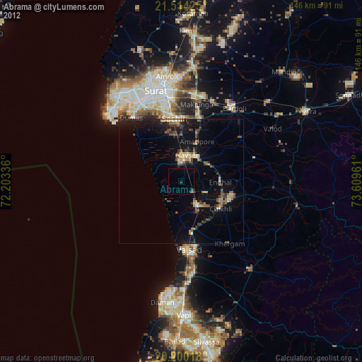
» Earth at Night: Flat Maps 2012, 2016