Valsād night lights from space
Night Light of Valsād (Gujarat) from space (India) Src. Average luminocity for 10x10km area is 46.5663% and for 50x50km: 13.9346%.
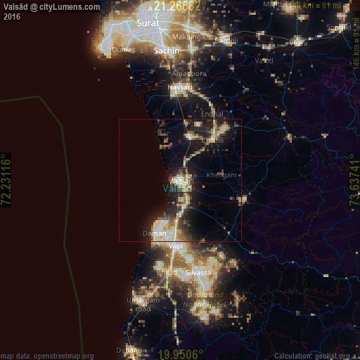
Analysis of Valsād night lights 2016
Square area 10x10 km:
 1.14%
1.14%90-99
13.07%80-89
8.33%70-79
7.01%60-69
5.49%50-59
8.71%40-49
4.73%30-39
9.66%20-29
15.91%10-19
21.59%0-9
4.36%Square area 50x50 km:
0.61%90-99
2.99%80-89
2.32%70-79
1.32%60-69
1.82%50-59
1.88%40-49
1.74%30-39
2.72%20-29
4.96%10-19
10.98%0-9
68.65%Clear (daylight) street map image can be seen on geolist.org.
Map coordinates:
21° 16' 0.6" North, 72° 13' 52.2" East
20° 36' 36.5" North, 72° 56' 3.4" East
19° 57' 2.2" North, 73° 38' 14.7" East
Some cities around Valsād sort by population:
• Bilimora
18 km =11.2 mi,  9°
9°
• Vapi
26.7 km =16.6 mi,  186°
186°
• Daman
24.2 km =15 mi,  205°
205°
• Pārdi
11.3 km =7 mi,  173°
173°
• Dharampur
26.2 km =16.3 mi,  108°
108°
• Gandevi
23.4 km =14.5 mi,  16°
16°
• Parnera
5.7 km =3.5 mi,  164°
164°
• Chikhli
21.1 km =13.1 mi,  39°
39°
1253468 (p: 72,929)
Sources (retrieved 2019-11-25):
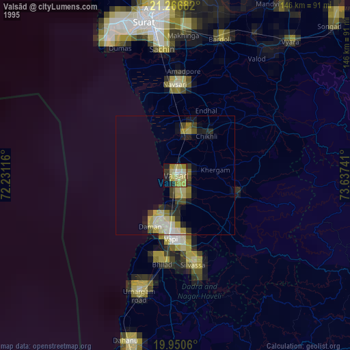
» NASA, Earths city lights 1995
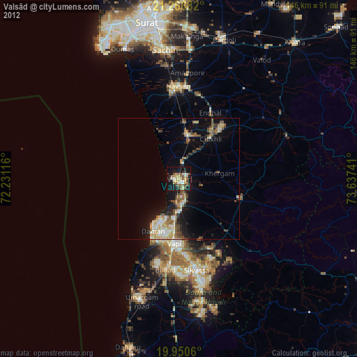
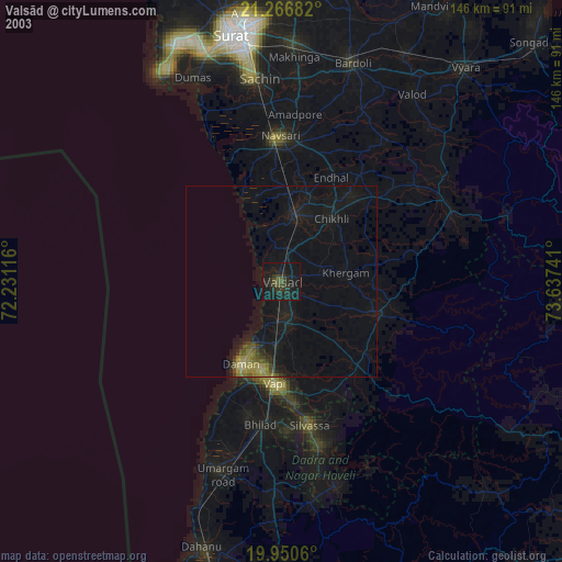
» NASA city lights 2003
» Earth at Night: Flat Maps 2012, 2016