Navsāri night lights from space
Night Light of Navsāri (Gujarat) from space (India) Src. Average luminocity for 10x10km area is 50.5992% and for 50x50km: 24.5588%.
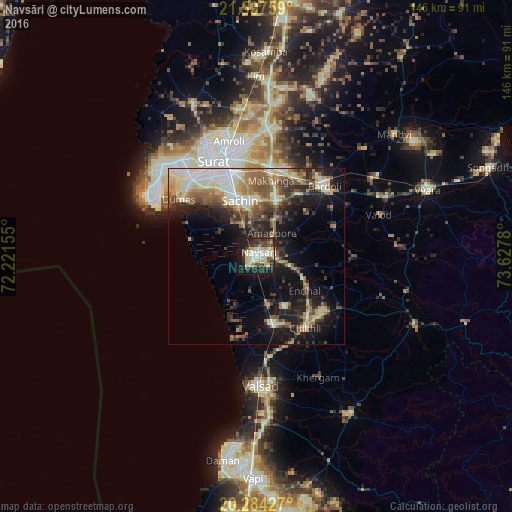
Analysis of Navsāri night lights 2016
Square area 10x10 km:
 4.96%
4.96%90-99
16.67%80-89
12.1%70-79
2.38%60-69
2.98%50-59
2.98%40-49
8.73%30-39
11.11%20-29
13.49%10-19
22.82%0-9
1.79%Square area 50x50 km:
2.36%90-99
5.45%80-89
3.79%70-79
2.24%60-69
3.49%50-59
4.21%40-49
3.83%30-39
4.43%20-29
6.16%10-19
13.89%0-9
50.17%Clear (daylight) street map image can be seen on geolist.org.
Map coordinates:
21° 35' 51.3" North, 72° 13' 17.6" East
20° 56' 32.5" North, 72° 55' 28.8" East
20° 17' 3.4" North, 73° 37' 40.1" East
Some cities around Navsāri sort by population:
• Sūrat
29.8 km =18.5 mi,  340°
340°
• Bilimora
19.6 km =12.2 mi,  168°
168°
• Bārdoli
27.9 km =17.3 mi,  43°
43°
• Abrama
9.5 km =5.9 mi,  191°
191°
• Jalālpur
2.8 km =1.7 mi,  284°
284°
• Gandevi
16.4 km =10.2 mi,  152°
152°
• Sachīn
16.7 km =10.4 mi, 344°
• Chikhli
25.1 km =15.6 mi, 145°
1261653 (p: 171,109)
Sources (retrieved 2019-11-25):
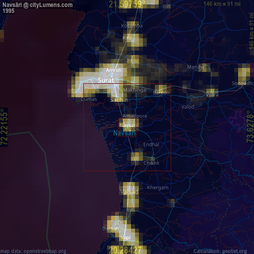
» NASA, Earths city lights 1995
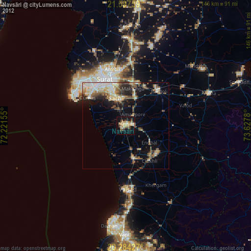
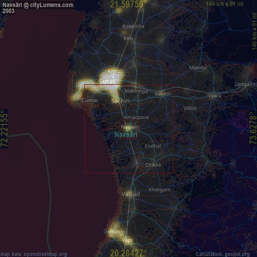
» NASA city lights 2003
» Earth at Night: Flat Maps 2012, 2016