Milak night lights from space
Night Light of Milak (Uttar Pradesh) from space (India) Src. Average luminocity for 10x10km area is 20.4337% and for 50x50km: 17.2134%.
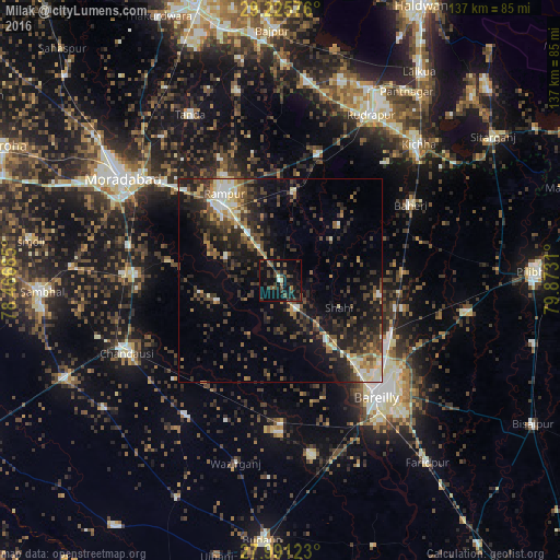
Analysis of Milak night lights 2016
Square area 10x10 km:
 0%
0%90-99
1.33%80-89
1.7%70-79
0%60-69
0.76%50-59
6.06%40-49
6.63%30-39
8.9%20-29
6.82%10-19
32.58%0-9
35.23%Square area 50x50 km:
1.24%90-99
1.97%80-89
2.11%70-79
1.35%60-69
1.96%50-59
2.93%40-49
4.42%30-39
4.41%20-29
7.11%10-19
11.98%0-9
60.52%Clear (daylight) street map image can be seen on geolist.org.
Map coordinates:
29° 13' 32.7" North, 78° 28' 0.7" East
28° 36' 37.1" North, 79° 10' 11.9" East
27° 59' 28.4" North, 79° 52' 23.2" East
Some cities around Milak sort by population:
• Shāhābād
16.4 km =10.2 mi,  252°
252°
• Kemrī
22.1 km =13.7 mi,  8°
8°
• Fatehganj West
20.9 km =13 mi,  140°
140°
• Shīshgarh
19.3 km =12 mi,  46°
46°
• Sarauli
15 km =9.3 mi,  210°
210°
• Shāhi
15.9 km =9.9 mi,  114°
114°
• Mīrganj
8.6 km =5.3 mi,  154°
154°
• Shergarh
19.9 km =12.4 mi,  76°
76°
1263051 (p: 28,505)
Sources (retrieved 2019-11-25):
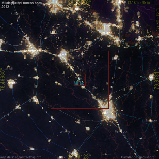
» Earth at Night: Flat Maps 2012, 2016