Bhopal night lights from space
Night Light of Bhopal (Madhya Pradesh) from space (India) Src. Average luminocity for 10x10km area is 96.3807% and for 50x50km: 32.4558%.
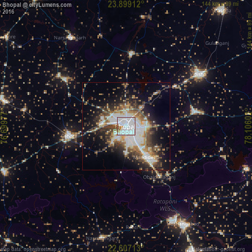

Analysis of Bhopal night lights 2016
Square area 10x10 km:
 76.89%
90-99
14.02%80-89
0.76%70-79
1.52%60-69
3.03%50-59
3.41%40-49
0.38%30-39
0%20-29
0%10-19
0%0-9
0%Square area 50x50 km:
8.31%90-99
5.94%80-89
2.68%70-79
2.99%60-69
4.06%50-59
4.79%40-49
5.18%30-39
5.22%20-29
6.71%10-19
11.78%0-9
42.34%Clear (daylight) street map image can be seen on geolist.org.
Map coordinates:
23° 53' 56.8" North, 76° 41' 59.2" East
23° 15' 16.9" North, 77° 24' 10.4" East
22° 36' 25.7" North, 78° 6' 21.7" East
Some cities around Bhopal sort by population:
• Vidisha
51.4 km =31.9 mi,  54°
54°
• Sehore
33.2 km =20.6 mi,  259°
259°
• Raisen
39.5 km =24.5 mi,  77°
77°
• Mandideep
23.4 km =14.5 mi,  145°
145°
• Berasia
42 km =26.1 mi,  4°
4°
• Ichhāwar
46.8 km =29.1 mi,  237°
237°
• Sultānpur
55.8 km =34.7 mi,  103°
103°
• Sānchi
42.8 km =26.6 mi, 52°
1275841 (p: 1,599,914)
Sources (retrieved 2019-11-25):
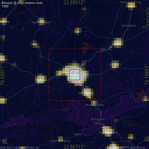
» NASA, Earths city lights 1995
» NASA city lights 2003
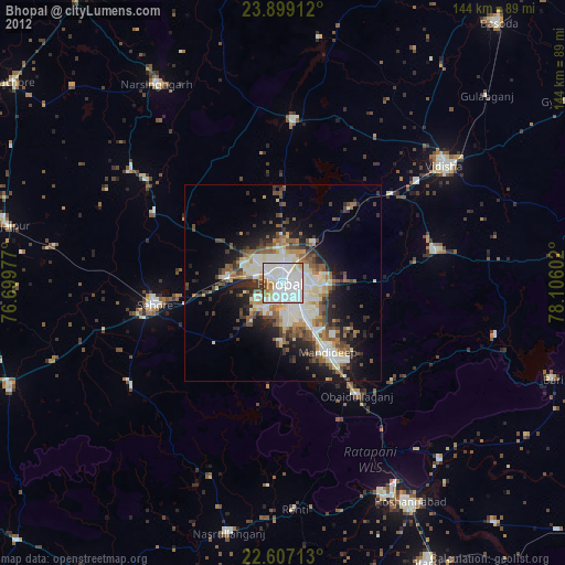
» Earth at Night: Flat Maps 2012, 2016