Mandideep night lights from space
Night Light of Mandideep (Madhya Pradesh) from space (India) Src. Average luminocity for 10x10km area is 63.1856% and for 50x50km: 24.6008%.
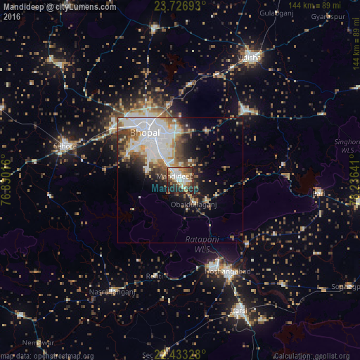
Analysis of Mandideep night lights 2016
Square area 10x10 km:
 13.64%
90-99
14.39%80-89
7.95%70-79
8.9%60-69
8.52%50-59
9.47%40-49
8.52%30-39
9.47%20-29
14.96%10-19
4.17%0-9
0%Square area 50x50 km:
7.78%90-99
4.83%80-89
1.91%70-79
2.2%60-69
2.53%50-59
3.25%40-49
3.68%30-39
3.35%20-29
3.81%10-19
6.72%0-9
59.93%Clear (daylight) street map image can be seen on geolist.org.
Map coordinates:
23° 43' 36.9" North, 76° 49' 48.6" East
23° 4' 54" North, 77° 31' 59.8" East
22° 25' 59.8" North, 78° 14' 11.1" East
Some cities around Mandideep sort by population:
• Bhopal
23.4 km =14.5 mi,  325°
325°
• Hoshangābād
42.1 km =26.2 mi,  151°
151°
• Sehore
47.8 km =29.7 mi,  285°
285°
• Raisen
37.5 km =23.3 mi,  42°
42°
• Nasrullāhganj
51.8 km =32.2 mi,  211°
211°
• Rehti
39.6 km =24.6 mi,  194°
194°
• Sultānpur
41.5 km =25.8 mi,  81°
81°
• Sānchi
49.6 km =30.8 mi,  24°
24°
7279752 (p: 39,898)
Sources (retrieved 2019-11-25):
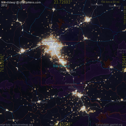
» Earth at Night: Flat Maps 2012, 2016