Raisen night lights from space
Night Light of Raisen (Madhya Pradesh) from space (India) Src. Average luminocity for 10x10km area is 30.0682% and for 50x50km: 10.2048%.
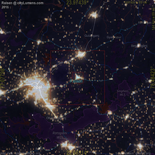
Analysis of Raisen night lights 2016
Square area 10x10 km:
 4.73%
4.73%90-99
5.49%80-89
2.27%70-79
2.46%60-69
5.68%50-59
3.03%40-49
2.46%30-39
4.17%20-29
5.11%10-19
44.13%0-9
20.45%Square area 50x50 km:
0.7%90-99
1%80-89
0.67%70-79
1.06%60-69
1.3%50-59
2.04%40-49
2.19%30-39
2.45%20-29
3.33%10-19
8.33%0-9
76.93%Clear (daylight) street map image can be seen on geolist.org.
Map coordinates:
23° 58' 27.8" North, 77° 4' 40.7" East
23° 19' 49.2" North, 77° 46' 52" East
22° 40' 59.3" North, 78° 29' 3.2" East
Some cities around Raisen sort by population:
• Bhopal
39.5 km =24.5 mi,  257°
257°
• Vidisha
22 km =13.7 mi,  7°
7°
• Bāsoda
60.1 km =37.3 mi,  15°
15°
• Mandideep
37.5 km =23.3 mi,  222°
222°
• Begamganj
64.4 km =40 mi,  62°
62°
• Berasia
48.8 km =30.3 mi,  313°
313°
• Sultānpur
26.5 km =16.5 mi,  143°
143°
• Sānchi
17.9 km =11.1 mi,  345°
345°
1258952 (p: 40,977)
Sources (retrieved 2019-11-25):
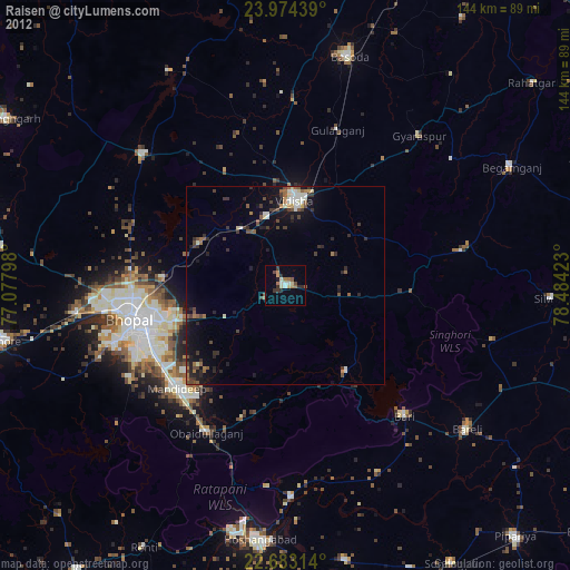
» Earth at Night: Flat Maps 2012, 2016