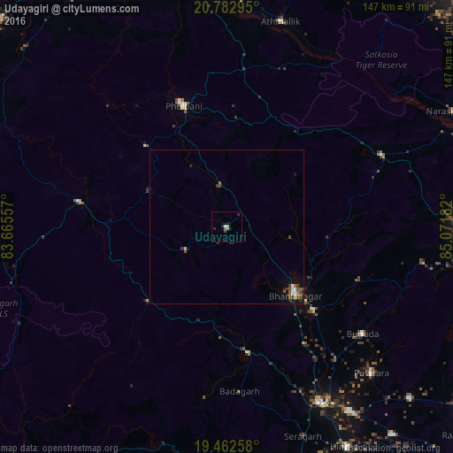
Udayagiri night lights from space
Night Light of Udayagiri (Odisha) from space (India) Src. Average luminocity for 10x10km area is 3.8829% and for 50x50km: 1.0623%.
Analysis of Udayagiri night lights 2016
Square area 10x10 km:
 0.4%
0.4%90-99
0.4%80-89
0%70-79
1.19%60-69
0.4%50-59
0.79%40-49
0.79%30-39
0%20-29
2.38%10-19
0.79%0-9
92.86%Square area 50x50 km:
0.12%90-99
0.14%80-89
0.03%70-79
0.11%60-69
0.03%50-59
0.33%40-49
0.32%30-39
0.19%20-29
0.32%10-19
0.52%0-9
97.87%Clear (daylight) street map image can be seen on geolist.org.
Map coordinates:
20° 46' 58.6" North, 83° 39' 56.1" East
20° 7' 27" North, 84° 22' 7.3" East
19° 27' 45.3" North, 85° 4' 18.6" East
Some cities around Udayagiri sort by population:
• Phulbāni
42.2 km =26.2 mi,  340°
340°
• Āsika
64.7 km =40.2 mi,  151°
151°
• Bhanjanagar
31.2 km =19.4 mi,  134°
134°
• Polasara
66.8 km =41.5 mi,  135°
135°
• Sorada
40.9 km =25.4 mi,  170°
170°
• Buguda
56.4 km =35 mi, 128°
• Kaintragarh
68.6 km =42.6 mi,  14°
14°
• Belaguntha
38.9 km =24.2 mi, 133°
1253992 (p: 10,865)
Sources (retrieved 2019-11-25):
» Earth at Night: Flat Maps 2012, 2016