Beldānga night lights from space
Night Light of Beldānga (West Bengal) from space (India) Src. Average luminocity for 10x10km area is 36.2235% and for 50x50km: 15.8185%.
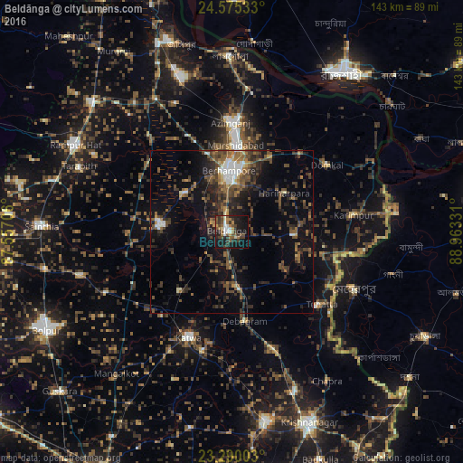
Analysis of Beldānga night lights 2016
Square area 10x10 km:
 3.22%
3.22%90-99
5.87%80-89
1.7%70-79
3.03%60-69
6.06%50-59
7.58%40-49
10.23%30-39
11.17%20-29
7.95%10-19
33.14%0-9
10.04%Square area 50x50 km:
0.94%90-99
1.84%80-89
0.76%70-79
1%60-69
2.17%50-59
3.68%40-49
4.35%30-39
4.55%20-29
5.97%10-19
10.23%0-9
64.49%Clear (daylight) street map image can be seen on geolist.org.
Map coordinates:
24° 34' 31.2" North, 87° 33' 25.4" East
23° 56' 3.4" North, 88° 15' 36.6" East
23° 17' 24.1" North, 88° 57' 47.9" East
Some cities around Beldānga sort by population:
• Baharampur
19 km =11.8 mi,  357°
357°
• Kātoya
34.6 km =21.5 mi,  202°
202°
• Kāndi
22.5 km =14 mi,  277°
277°
• Murshidābād
27.8 km =17.3 mi,  2°
2°
• Lālgola
54.3 km =33.7 mi, 359°
• Muragācha
46.3 km =28.8 mi,  162°
162°
• Debīpur
50.6 km =31.4 mi,  45°
45°
• Karīmpur
36.8 km =22.9 mi,  82°
82°
1276548 (p: 27,489)
Sources (retrieved 2019-11-25):
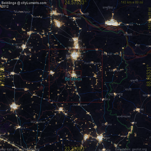
» Earth at Night: Flat Maps 2012, 2016