Kātoya night lights from space
Night Light of Kātoya (West Bengal) from space (India) Src. Average luminocity for 10x10km area is 33.1369% and for 50x50km: 9.9987%.
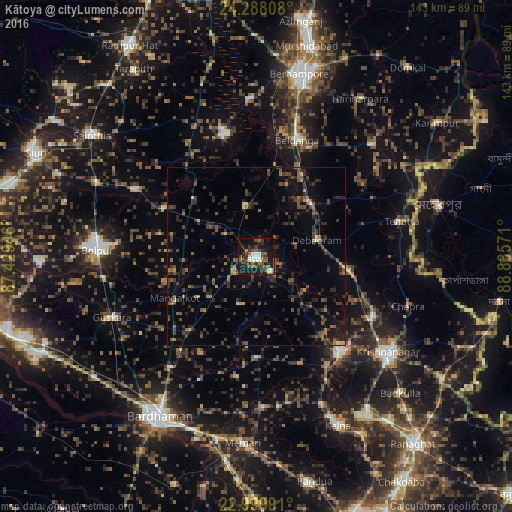
Analysis of Kātoya night lights 2016
Square area 10x10 km:
 4.37%
4.37%90-99
5.16%80-89
1.39%70-79
0.4%60-69
3.37%50-59
9.52%40-49
8.73%30-39
7.34%20-29
10.32%10-19
39.68%0-9
9.72%Square area 50x50 km:
0.17%90-99
0.41%80-89
0.34%70-79
0.63%60-69
1.27%50-59
2.24%40-49
2.68%30-39
3.46%20-29
4.97%10-19
6.29%0-9
77.55%Clear (daylight) street map image can be seen on geolist.org.
Map coordinates:
24° 17' 17.1" North, 87° 25' 46.1" East
23° 38' 44.1" North, 88° 7' 57.3" East
22° 59' 59.7" North, 88° 50' 8.6" East
Some cities around Kātoya sort by population:
• Krishnanagar
45.2 km =28.1 mi,  126°
126°
• Navadwīp
35.8 km =22.2 mi,  137°
137°
• Bolpur
44.4 km =27.6 mi,  272°
272°
• Kāndi
36.1 km =22.4 mi,  344°
344°
• Guskhara
44 km =27.3 mi,  247°
247°
• Beldānga
34.6 km =21.5 mi,  22°
22°
• Muragācha
29.3 km =18.2 mi,  114°
114°
• Ahmadpur
49.8 km =30.9 mi,  294°
294°
1267457 (p: 78,408)
Sources (retrieved 2019-11-25):
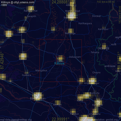
» NASA, Earths city lights 1995
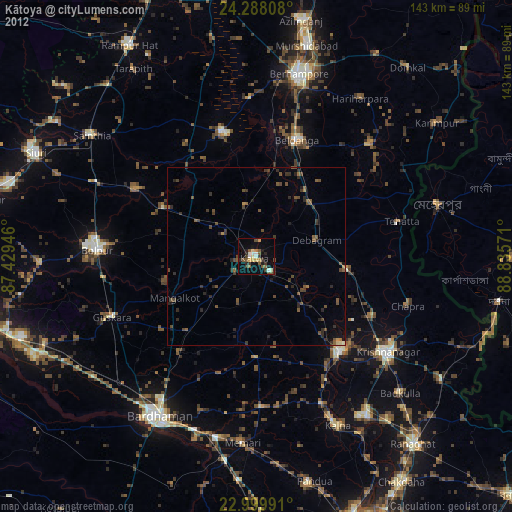
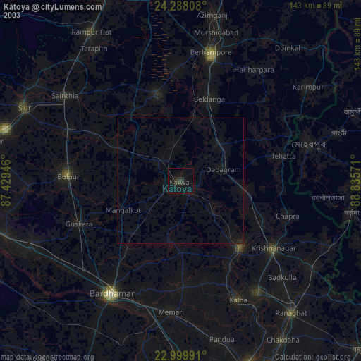
» NASA city lights 2003
» Earth at Night: Flat Maps 2012, 2016