Behror night lights from space
Night Light of Behror (Rajasthan) from space (India) Src. Average luminocity for 10x10km area is 42.9034% and for 50x50km: 16.8087%.
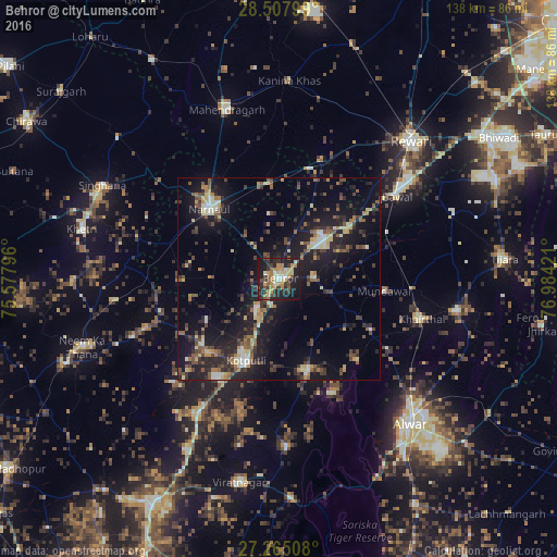
Analysis of Behror night lights 2016
Square area 10x10 km:
 2.46%
2.46%90-99
4.92%80-89
8.9%70-79
8.52%60-69
7.2%50-59
4.36%40-49
5.68%30-39
11.55%20-29
14.77%10-19
29.73%0-9
1.89%Square area 50x50 km:
0.87%90-99
1.74%80-89
2.49%70-79
1.34%60-69
1.86%50-59
3.13%40-49
3.38%30-39
3.7%20-29
5.83%10-19
17.02%0-9
58.64%Clear (daylight) street map image can be seen on geolist.org.
Map coordinates:
28° 30' 28.8" North, 75° 34' 40.7" East
27° 53' 18" North, 76° 16' 51.9" East
27° 15' 54.3" North, 76° 59' 3.2" East
Some cities around Behror sort by population:
• Rewāri
47.8 km =29.7 mi,  43°
43°
• Nārnaul
24.3 km =15.1 mi,  315°
315°
• Kotputli
22.2 km =13.8 mi,  201°
201°
• Mahendragarh
44.2 km =27.5 mi,  343°
343°
• Bāwal
36 km =22.4 mi,  55°
55°
• Mandāwar
26.6 km =16.5 mi,  95°
95°
• Kishangarh
44.8 km =27.8 mi, 99°
• Ateli Mandi
23.7 km =14.7 mi,  354°
354°
1276589 (p: 25,815)
Sources (retrieved 2019-11-25):
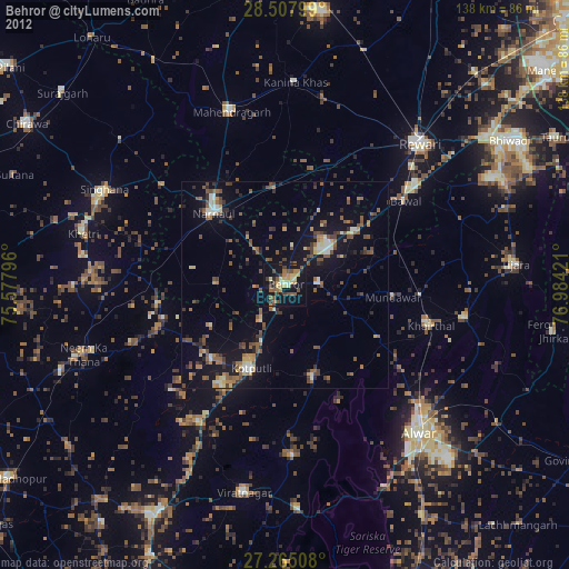
» Earth at Night: Flat Maps 2012, 2016