Mahendragarh night lights from space
Night Light of Mahendragarh (Haryana) from space (India) Src. Average luminocity for 10x10km area is 14.7798% and for 50x50km: 4.7407%.
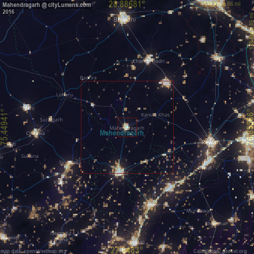
Analysis of Mahendragarh night lights 2016
Square area 10x10 km:
 0.99%
0.99%90-99
2.38%80-89
3.17%70-79
0.79%60-69
2.98%50-59
3.17%40-49
0%30-39
1.98%20-29
1.19%10-19
1.19%0-9
82.14%Square area 50x50 km:
0.34%90-99
0.68%80-89
0.43%70-79
0.41%60-69
0.58%50-59
1%40-49
0.99%30-39
0.9%20-29
0.93%10-19
2.48%0-9
91.27%Clear (daylight) street map image can be seen on geolist.org.
Map coordinates:
28° 53' 12.5" North, 75° 26' 57.9" East
28° 16' 9.7" North, 76° 9' 9.1" East
27° 38' 53.9" North, 76° 51' 20.4" East
Some cities around Mahendragarh sort by population:
• Rewāri
46.3 km =28.8 mi,  99°
99°
• Nārnaul
25.4 km =15.8 mi,  189°
189°
• Charkhi Dādri
37.7 km =23.4 mi,  17°
17°
• Behror
44.2 km =27.5 mi,  163°
163°
• Sūrajgarh
41.4 km =25.7 mi,  276°
276°
• Lohāru
38.2 km =23.7 mi,  297°
297°
• Kanīna Khās
17 km =10.6 mi,  66°
66°
• Ateli Mandi
21.5 km =13.4 mi,  150°
150°
1264395 (p: 25,728)
Sources (retrieved 2019-11-25):
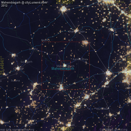
» Earth at Night: Flat Maps 2012, 2016