Kotputli night lights from space
Night Light of Kotputli (Rajasthan) from space (India) Src. Average luminocity for 10x10km area is 40.7143% and for 50x50km: 17.4796%.
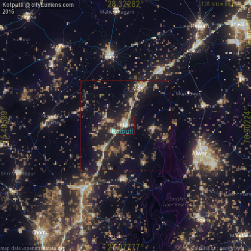
Analysis of Kotputli night lights 2016
Square area 10x10 km:
 5.16%
5.16%90-99
6.75%80-89
6.35%70-79
2.58%60-69
5.36%50-59
7.34%40-49
4.17%30-39
10.71%20-29
20.83%10-19
23.41%0-9
7.34%Square area 50x50 km:
0.64%90-99
1.56%80-89
1.96%70-79
1.56%60-69
2.47%50-59
2.98%40-49
4%30-39
4.62%20-29
6.43%10-19
18.44%0-9
55.34%Clear (daylight) street map image can be seen on geolist.org.
Map coordinates:
28° 19' 22.2" North, 75° 29' 45.6" East
27° 42' 7.5" North, 76° 11' 56.8" East
27° 4' 40" North, 76° 54' 8.1" East
Some cities around Kotputli sort by population:
• Alwar
44.7 km =27.8 mi,  110°
110°
• Nārnaul
39.1 km =24.3 mi,  346°
346°
• Shāhpura
41.9 km =26 mi,  214°
214°
• Neem ka Thana
40.8 km =25.4 mi,  275°
275°
• Manoharpur
51.3 km =31.9 mi, 208°
• Behror
22.2 km =13.8 mi,  21°
21°
• Mandāwar
38.9 km =24.2 mi,  62°
62°
• Ateli Mandi
44.7 km =27.8 mi,  7°
7°
1265961 (p: 43,651)
Sources (retrieved 2019-11-25):
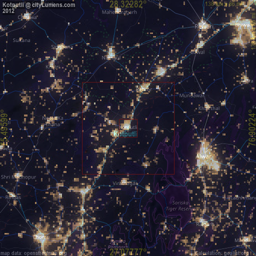
» Earth at Night: Flat Maps 2012, 2016