Rewāri night lights from space
Night Light of Rewāri (Haryana) from space (India) Src. Average luminocity for 10x10km area is 44.0595% and for 50x50km: 17.1921%.
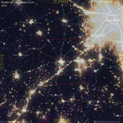
Analysis of Rewāri night lights 2016
Square area 10x10 km:
 5.75%
5.75%90-99
8.33%80-89
8.73%70-79
3.37%60-69
5.75%50-59
5.95%40-49
4.37%30-39
9.33%20-29
17.06%10-19
27.98%0-9
3.37%Square area 50x50 km:
1.82%90-99
2.64%80-89
2.93%70-79
1.26%60-69
1.49%50-59
2.22%40-49
2.98%30-39
4.4%20-29
6.2%10-19
12.13%0-9
61.93%Clear (daylight) street map image can be seen on geolist.org.
Map coordinates:
28° 49' 0.7" North, 75° 54' 54.6" East
28° 11' 56.4" North, 76° 37' 5.9" East
27° 34' 39.1" North, 77° 19' 17.1" East
Some cities around Rewāri sort by population:
• Bhiwadi
23.8 km =14.8 mi,  86°
86°
• Dhāruhera
17.5 km =10.9 mi, 87°
• Tāoru
32.5 km =20.2 mi, 87°
• Pataudi
21.1 km =13.1 mi,  48°
48°
• Bāwal
14.6 km =9.1 mi,  193°
193°
• Kanīna Khās
33.5 km =20.8 mi,  295°
295°
• Farrukhnagar
34.2 km =21.3 mi,  36°
36°
• Ateli Mandi
36.8 km =22.9 mi,  252°
252°
1258178 (p: 112,079)
Sources (retrieved 2019-11-25):
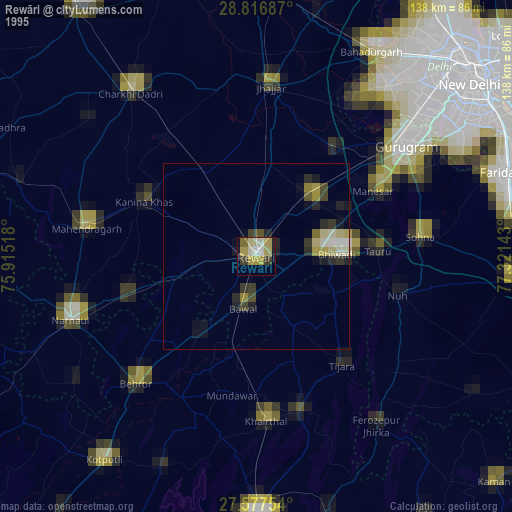
» NASA, Earths city lights 1995
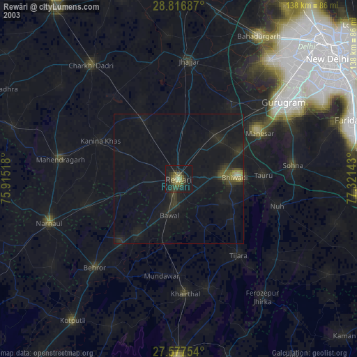
» NASA city lights 2003
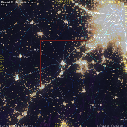
» Earth at Night: Flat Maps 2012, 2016