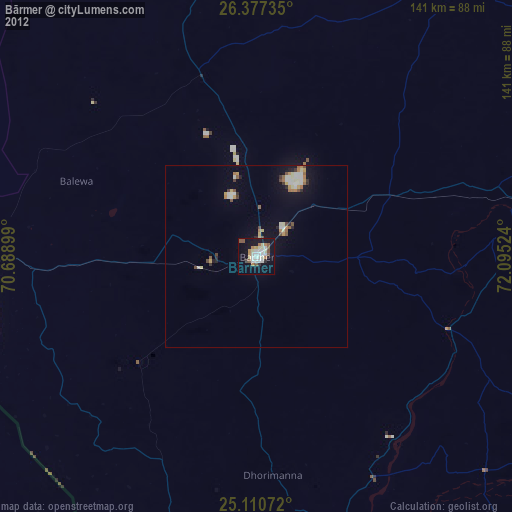
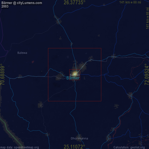
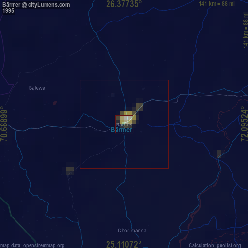
Bārmer night lights from space
Night Light of Bārmer (Rajasthan) from space (India) Src. Average luminocity for 10x10km area is 37.5% and for 50x50km: 5.0311%.
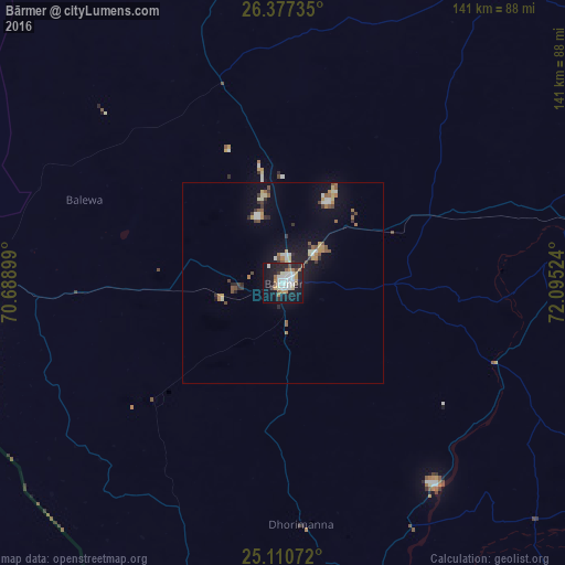
Analysis of Bārmer night lights 2016
Square area 10x10 km:
 5.3%
5.3%90-99
12.12%80-89
2.27%70-79
5.11%60-69
3.79%50-59
3.03%40-49
3.03%30-39
0.95%20-29
10.8%10-19
38.07%0-9
15.53%Square area 50x50 km:
0.26%90-99
1.1%80-89
0.45%70-79
0.68%60-69
0.56%50-59
0.78%40-49
0.57%30-39
0.51%20-29
0.9%10-19
3.92%0-9
90.27%Clear (daylight) street map image can be seen on geolist.org.
Map coordinates:
26° 22' 38.5" North, 70° 41' 20.4" East
25° 44' 44.6" North, 71° 23' 31.6" East
25° 6' 38.6" North, 72° 5' 42.9" East
Some cities around Bārmer sort by population:
• Bālotra
85.4 km =53.1 mi,  83°
83°
• Jaisalmer
139.1 km =86.4 mi,  339°
339°
• Jalor
130.6 km =81.2 mi,  109°
109°
• Bhīnmāl
121.2 km =75.3 mi,  133°
133°
• Sānchor
116.8 km =72.6 mi,  160°
160°
• Siwāna
103.8 km =64.5 mi,  95°
95°
• Pokaran
140.6 km =87.4 mi,  21°
21°
• Samdari
119 km =73.9 mi,  86°
86°
1276901 (p: 89,487)
Sources (retrieved 2019-11-25):
» NASA, Earths city lights 1995
» NASA city lights 2003
» Earth at Night: Flat Maps 2012, 2016