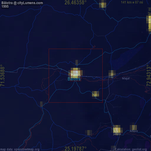
Bālotra night lights from space
Night Light of Bālotra (Rajasthan) from space (India) Src. Average luminocity for 10x10km area is 36.6951% and for 50x50km: 2.2476%.
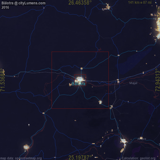

Analysis of Bālotra night lights 2016
Square area 10x10 km:
 5.68%
5.68%90-99
11.17%80-89
5.87%70-79
3.03%60-69
1.33%50-59
1.7%40-49
4.92%30-39
3.03%20-29
3.98%10-19
45.27%0-9
14.02%Square area 50x50 km:
0.23%90-99
0.54%80-89
0.31%70-79
0.23%60-69
0.16%50-59
0.1%40-49
0.29%30-39
0.35%20-29
0.19%10-19
2.22%0-9
95.36%Clear (daylight) street map image can be seen on geolist.org.
Map coordinates:
26° 27' 48.9" North, 71° 32' 12.8" East
25° 49' 56.7" North, 72° 14' 24" East
25° 11' 52.3" North, 72° 56' 35.3" East
Some cities around Bālotra sort by population:
• Jodhpur
90.6 km =56.3 mi,  57°
57°
• Pāli
108.6 km =67.5 mi,  93°
93°
• Bārmer
85.4 km =53.1 mi,  263°
263°
• Jalor
65.9 km =40.9 mi,  145°
145°
• Bhīnmāl
92.7 km =57.6 mi,  178°
178°
• Siwāna
27.2 km =16.9 mi,  137°
137°
• Samdari
34 km =21.1 mi, 93°
• Takhatgarh
95.4 km =59.3 mi,  126°
126°
1277527 (p: 68,120)
Sources (retrieved 2019-11-25):
» NASA, Earths city lights 1995
» NASA city lights 2003
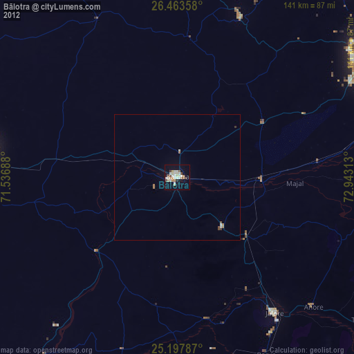
» Earth at Night: Flat Maps 2012, 2016