Jalor night lights from space
Night Light of Jalor (Rajasthan) from space (India) Src. Average luminocity for 10x10km area is 23.6687% and for 50x50km: 1.8048%.
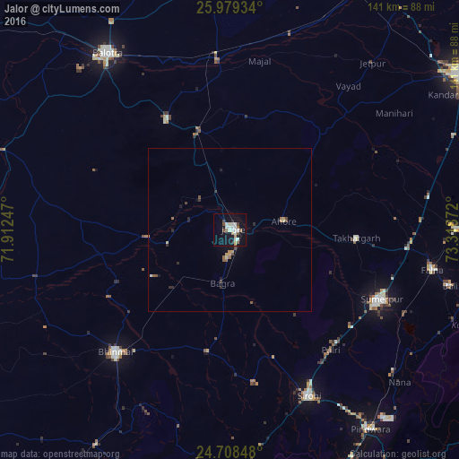
Analysis of Jalor night lights 2016
Square area 10x10 km:
 1.79%
1.79%90-99
9.92%80-89
1.19%70-79
1.79%60-69
0.79%50-59
2.58%40-49
3.57%30-39
0.6%20-29
2.18%10-19
26.79%0-9
48.81%Square area 50x50 km:
0.07%90-99
0.42%80-89
0.15%70-79
0.28%60-69
0.17%50-59
0.25%40-49
0.34%30-39
0.09%20-29
0.37%10-19
1.36%0-9
96.5%Clear (daylight) street map image can be seen on geolist.org.
Map coordinates:
25° 58' 45.6" North, 71° 54' 44.9" East
25° 20' 44.1" North, 72° 36' 56.1" East
24° 42' 30.5" North, 73° 19' 7.4" East
Some cities around Jalor sort by population:
• Bālotra
65.9 km =40.9 mi,  325°
325°
• Bhīnmāl
51.8 km =32.2 mi,  221°
221°
• Sirohi
56 km =34.8 mi,  155°
155°
• Sheoganj
50.9 km =31.6 mi,  116°
116°
• Siwāna
39.2 km =24.4 mi, 330°
• Samdari
52.1 km =32.4 mi,  355°
355°
• Takhatgarh
39.2 km =24.4 mi,  93°
93°
• Rāni
69.7 km =43.3 mi, 89°
1269392 (p: 49,682)
Sources (retrieved 2019-11-25):
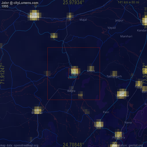
» NASA, Earths city lights 1995
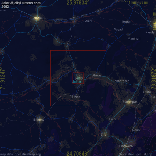
» NASA city lights 2003
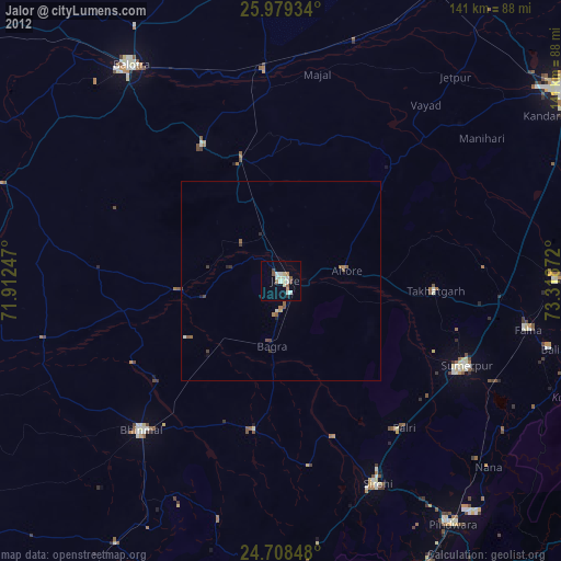
» Earth at Night: Flat Maps 2012, 2016