Pokaran night lights from space
Night Light of Pokaran (Rajasthan) from space (India) Src. Average luminocity for 10x10km area is 19.004% and for 50x50km: 0.9732%.
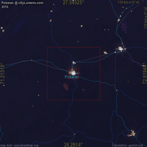
Analysis of Pokaran night lights 2016
Square area 10x10 km:
 1.59%
1.59%90-99
5.56%80-89
0.4%70-79
1.98%60-69
0.99%50-59
4.76%40-49
5.56%30-39
0.6%20-29
0.2%10-19
6.94%0-9
71.43%Square area 50x50 km:
0.09%90-99
0.25%80-89
0.08%70-79
0.08%60-69
0.04%50-59
0.18%40-49
0.21%30-39
0.05%20-29
0.1%10-19
0.27%0-9
98.65%Clear (daylight) street map image can be seen on geolist.org.
Map coordinates:
27° 32' 42.9" North, 71° 12' 47.5" East
26° 55' 12.3" North, 71° 54' 58.7" East
26° 17' 29" North, 72° 37' 10" East
Some cities around Pokaran sort by population:
• Jodhpur
130.3 km =81 mi,  123°
123°
• Bārmer
140.6 km =87.4 mi,  201°
201°
• Bālotra
125.2 km =77.8 mi,  165°
165°
• Jaisalmer
100.4 km =62.4 mi,  269°
269°
• Nokha
169.5 km =105.3 mi,  65°
65°
• Phalodi
50.5 km =31.4 mi,  62°
62°
• Siwāna
149.8 km =93.1 mi,  160°
160°
• Samdari
139.7 km =86.8 mi,  151°
151°
1259460 (p: 21,014)
Sources (retrieved 2019-11-25):
» Earth at Night: Flat Maps 2012, 2016