Jaisalmer night lights from space
Night Light of Jaisalmer (Rajasthan) from space (India) Src. Average luminocity for 10x10km area is 47.7421% and for 50x50km: 3.6894%.
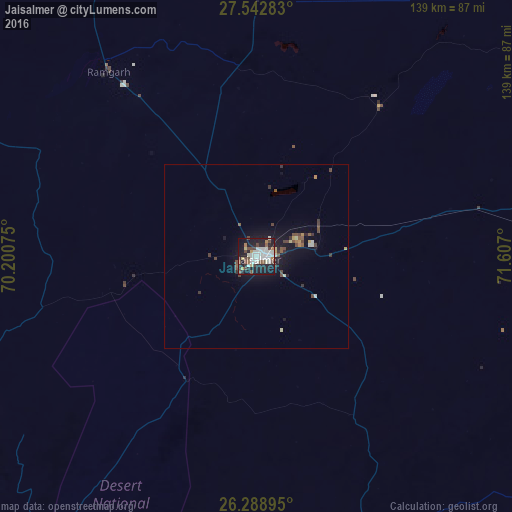
Analysis of Jaisalmer night lights 2016
Square area 10x10 km:
 8.73%
8.73%90-99
17.06%80-89
3.17%70-79
1.79%60-69
3.57%50-59
3.37%40-49
10.91%30-39
2.78%20-29
16.67%10-19
29.96%0-9
1.98%Square area 50x50 km:
0.34%90-99
0.83%80-89
0.34%70-79
0.2%60-69
0.22%50-59
0.45%40-49
1.03%30-39
0.5%20-29
0.81%10-19
3.43%0-9
91.83%Clear (daylight) street map image can be seen on geolist.org.
Map coordinates:
27° 32' 34.2" North, 70° 12' 2.7" East
26° 55' 3.5" North, 70° 54' 13.9" East
26° 17' 20.2" North, 71° 36' 25.2" East
Some cities around Jaisalmer sort by population:
• Rahim Yar Khan, PK
177.2 km =110.1 mi,  340°
340°
• Saddiqabad, PK
172.6 km =107.2 mi,  333°
333°
• Bārmer
139.1 km =86.4 mi,  159°
159°
• Bālotra
179.6 km =111.6 mi,  132°
132°
• Phalodi
147 km =91.3 mi,  80°
80°
• Khairpur, PK
174 km =108.1 mi,  317°
317°
• Khanpur Mahar, PK
179.5 km =111.5 mi,  304°
304°
• Pokaran
100.4 km =62.4 mi,  89°
89°
1269507 (p: 67,604)
Sources (retrieved 2019-11-25):
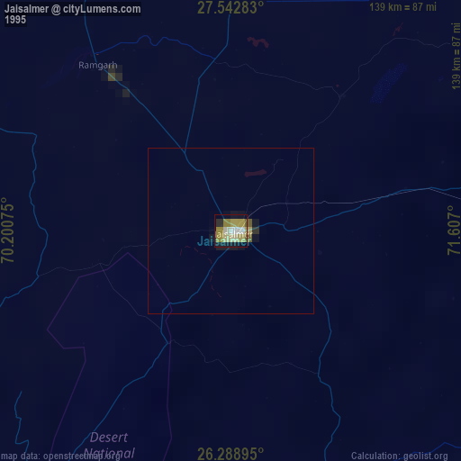
» NASA, Earths city lights 1995
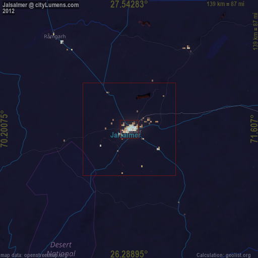
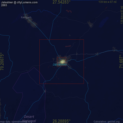
» NASA city lights 2003
» Earth at Night: Flat Maps 2012, 2016