Pratāpgarh night lights from space
Night Light of Pratāpgarh (Rajasthan) from space (India) Src. Average luminocity for 10x10km area is 21.9413% and for 50x50km: 2.9088%.
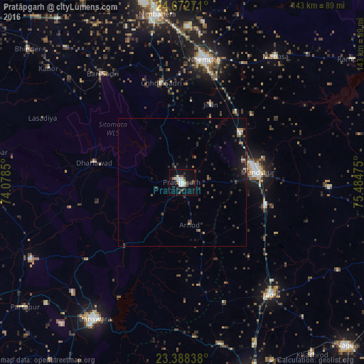
Analysis of Pratāpgarh night lights 2016
Square area 10x10 km:
 1.89%
1.89%90-99
7.58%80-89
1.52%70-79
0.38%60-69
0.76%50-59
2.46%40-49
3.98%30-39
2.08%20-29
4.73%10-19
18.75%0-9
55.87%Square area 50x50 km:
0.13%90-99
0.49%80-89
0.12%70-79
0.16%60-69
0.22%50-59
0.5%40-49
0.5%30-39
0.83%20-29
1.13%10-19
2.04%0-9
93.87%Clear (daylight) street map image can be seen on geolist.org.
Map coordinates:
24° 40' 21.8" North, 74° 4' 42.6" East
24° 1' 55.7" North, 74° 46' 53.8" East
23° 23' 18.2" North, 75° 29' 5.1" East
Some cities around Pratāpgarh sort by population:
• Mandsaur
29.6 km =18.4 mi,  81°
81°
• Jaorā
56.2 km =34.9 mi,  141°
141°
• Chhoti Sādri
39.7 km =24.7 mi,  348°
348°
• Bari Sādri
52.7 km =32.7 mi,  323°
323°
• Sītāmau
58.1 km =36.1 mi,  91°
91°
• Jīran
32.7 km =20.3 mi,  19°
19°
• Nārāyangarh
38 km =23.6 mi,  45°
45°
• Malhārgarh
35 km =21.7 mi,  37°
37°
1259338 (p: 37,780)
Sources (retrieved 2019-11-25):
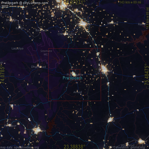
» Earth at Night: Flat Maps 2012, 2016