Bangaon night lights from space
Night Light of Bangaon (West Bengal) from space (India) Src. Average luminocity for 10x10km area is 46.8512% and for 50x50km: 16.9949%.
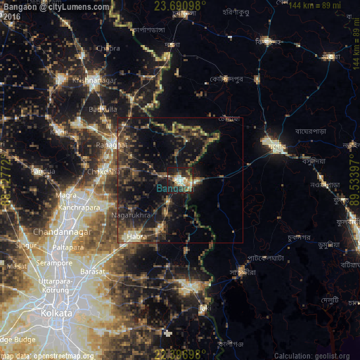
Analysis of Bangaon night lights 2016
Square area 10x10 km:
 1.98%
1.98%90-99
13.89%80-89
5.36%70-79
4.96%60-69
7.94%50-59
7.54%40-49
5.75%30-39
10.12%20-29
19.64%10-19
22.82%0-9
0%Square area 50x50 km:
0.19%90-99
1.71%80-89
1.17%70-79
1.18%60-69
2.14%50-59
3.29%40-49
5.22%30-39
6.41%20-29
8.44%10-19
15.85%0-9
54.39%Clear (daylight) street map image can be seen on geolist.org.
Map coordinates:
23° 41' 27.5" North, 88° 7' 39.8" East
23° 2' 43.9" North, 88° 49' 51" East
22° 23' 49.1" North, 89° 32' 2.3" East
Some cities around Bangaon sort by population:
• Hābra
28.8 km =17.9 mi,  218°
218°
• Ashoknagar Kalyangarh
28.3 km =17.6 mi, 224°
• Rānāghāt
30.7 km =19.1 mi,  298°
298°
• Gobārdānga
20.3 km =12.6 mi,  202°
202°
• Jhingergācha, BD
27.6 km =17.1 mi,  74°
74°
• Aistala
29.7 km =18.5 mi, 300°
• Nagarukhra
23 km =14.3 mi,  239°
239°
• Haringhāta
27.7 km =17.2 mi,  251°
251°
1277324 (p: 111,693)
Sources (retrieved 2019-11-25):
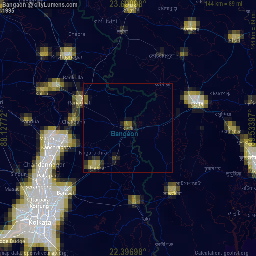
» NASA, Earths city lights 1995
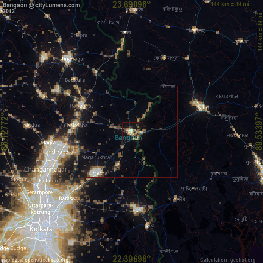
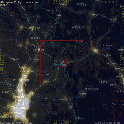
» NASA city lights 2003
» Earth at Night: Flat Maps 2012, 2016