Gobārdānga night lights from space
Night Light of Gobārdānga (West Bengal) from space (India) Src. Average luminocity for 10x10km area is 30.4167% and for 50x50km: 27.9472%.
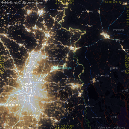
Analysis of Gobārdānga night lights 2016
Square area 10x10 km:
 0%
0%90-99
2.78%80-89
1.98%70-79
4.76%60-69
3.77%50-59
3.57%40-49
8.53%30-39
15.28%20-29
14.29%10-19
37.3%0-9
7.74%Square area 50x50 km:
0.78%90-99
4.28%80-89
2.92%70-79
2.75%60-69
4.4%50-59
7.02%40-49
8.03%30-39
8%20-29
9.22%10-19
16.05%0-9
36.55%Clear (daylight) street map image can be seen on geolist.org.
Map coordinates:
23° 31' 25.2" North, 88° 3' 6" East
22° 52' 38.6" North, 88° 45' 17.2" East
22° 13' 41" North, 89° 27' 28.5" East
Some cities around Gobārdānga sort by population:
• Hābra
10.9 km =6.8 mi,  248°
248°
• Bangaon
20.3 km =12.6 mi,  22°
22°
• Ashoknagar Kalyangarh
12.2 km =7.6 mi,  263°
263°
• Badūria
15.2 km =9.4 mi,  167°
167°
• Nagarukhra
14 km =8.7 mi,  300°
300°
• Gurdaha
15.9 km =9.9 mi,  178°
178°
• Haringhāta
20.9 km =13 mi, 297°
• Ula
26.7 km =16.6 mi,  229°
229°
1271142 (p: 43,808)
Sources (retrieved 2019-11-25):
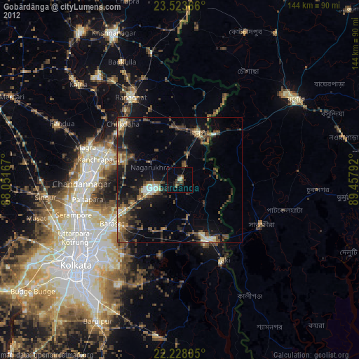
» Earth at Night: Flat Maps 2012, 2016