Hābra night lights from space
Night Light of Hābra (West Bengal) from space (India) Src. Average luminocity for 10x10km area is 62.2679% and for 50x50km: 42.8288%.
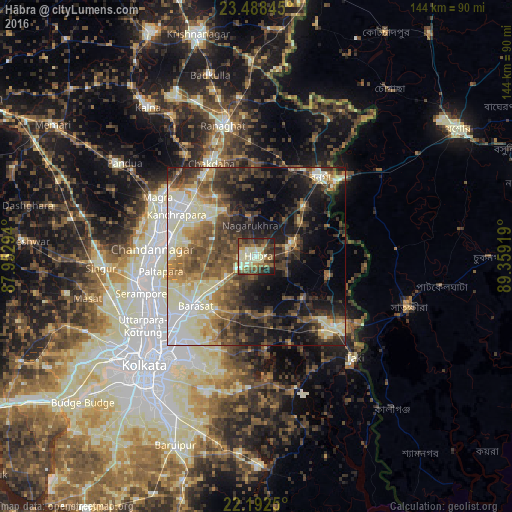
Analysis of Hābra night lights 2016
Square area 10x10 km:
 2.18%
2.18%90-99
21.83%80-89
12.3%70-79
6.55%60-69
6.55%50-59
12.9%40-49
14.09%30-39
11.51%20-29
8.73%10-19
3.37%0-9
0%Square area 50x50 km:
4.41%90-99
11.31%80-89
5.46%70-79
4.27%60-69
5.95%50-59
7.47%40-49
8.78%30-39
8.29%20-29
9.5%10-19
14.49%0-9
20.08%Clear (daylight) street map image can be seen on geolist.org.
Map coordinates:
23° 29' 18.4" North, 87° 57' 10.6" East
22° 50' 31.3" North, 88° 39' 21.8" East
22° 11' 33" North, 89° 21' 33.1" East
Some cities around Hābra sort by population:
• Ashoknagar Kalyangarh
3.1 km =1.9 mi,  321°
321°
• Badūria
17.2 km =10.7 mi,  129°
129°
• Gobārdānga
10.9 km =6.8 mi,  68°
68°
• Nagarukhra
11.2 km =7 mi,  349°
349°
• Gurdaha
16 km =9.9 mi,  138°
138°
• Haringhāta
16 km =9.9 mi,  328°
328°
• Rāmchandrapur
19.5 km =12.1 mi,  288°
288°
• Ula
16.8 km =10.4 mi,  217°
217°
1270568 (p: 139,297)
Sources (retrieved 2019-11-25):
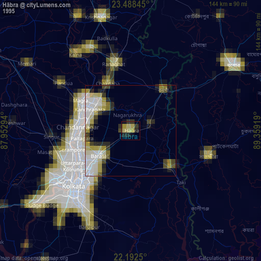
» NASA, Earths city lights 1995
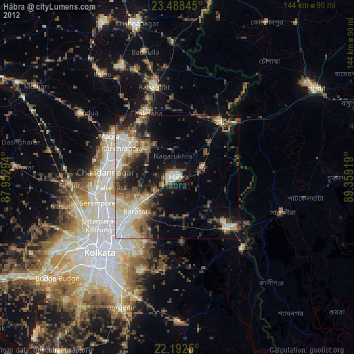
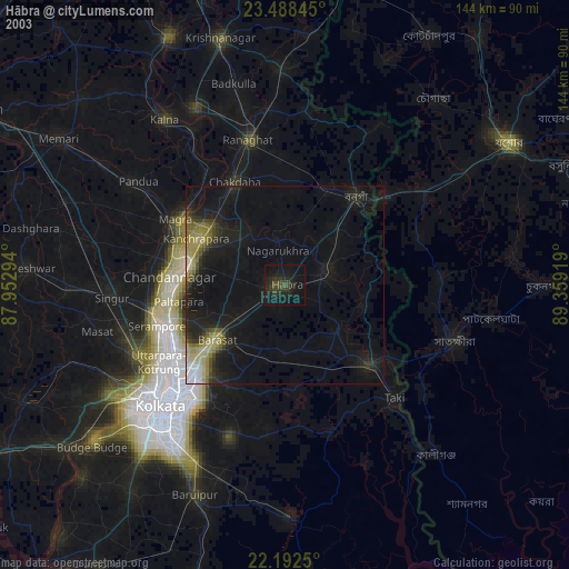
» NASA city lights 2003
» Earth at Night: Flat Maps 2012, 2016